Arctic
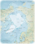
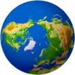
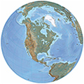
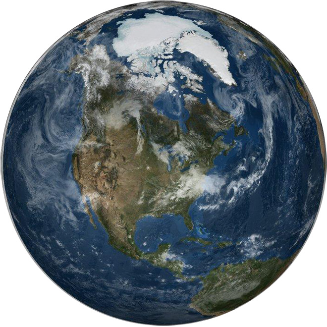
A global view of the Arctic on 21 September 2005. In support of International Polar Year, a matching pair of images showing a global view of the Arctic and Antarctic were generated in poster-size resolution. Both images are of the same day, the date at which the sea ice was at its minimum extent in the north. Shown in this view is all of North America and the northern portion of South America. Image courtesy of NASA.
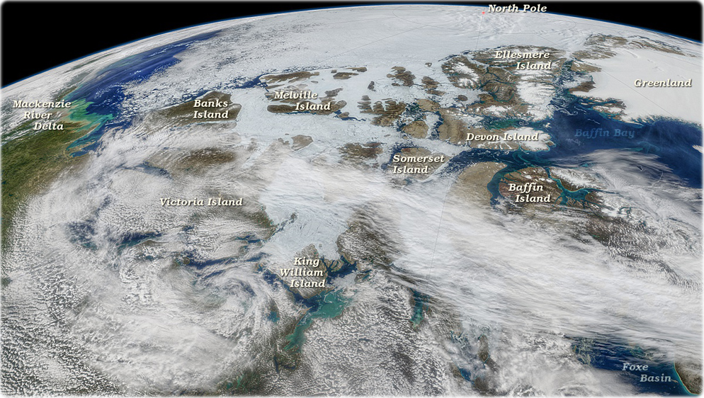
As climate warms and arctic ice retreats, both phytoplankton and shipping interests exploit the newly opening waterways of Canada's Northwest Passages. The Aqua/MODIS data comprising the above composite image were collected during six consecutive orbits of the sensor on July 26, 2019. At that same time a research cruise was tracking changes in the pictured region (source NASA).
|
Copyright © Geographic Guide - Planet Earth. |