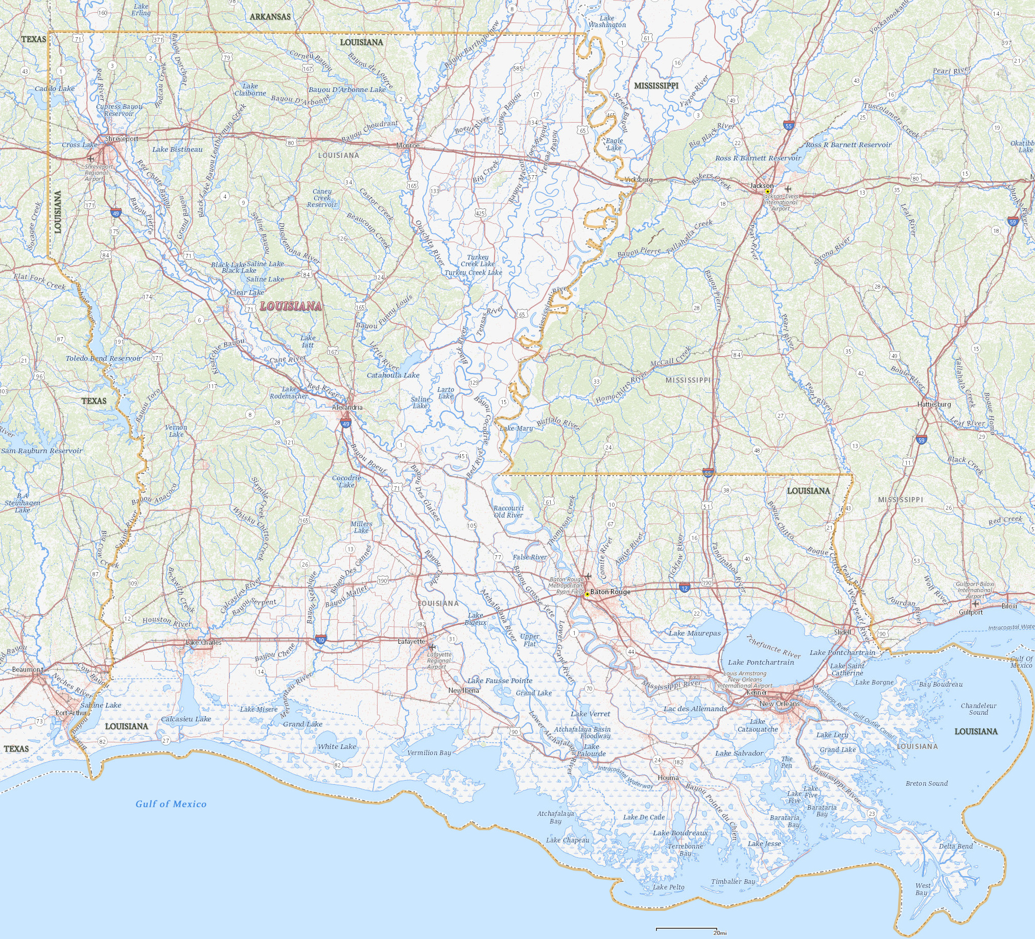
Map of Louisiana
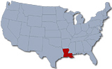
Louisiana lies within the gulf portion of the Coastal Plain of the United States. The capital city is Baton Rouge and the largest city is New Orleans. The State is bordered by Texas to the west, Arkansas to the north, Mississippi to the east, and the Gulf of Mexico to the south.
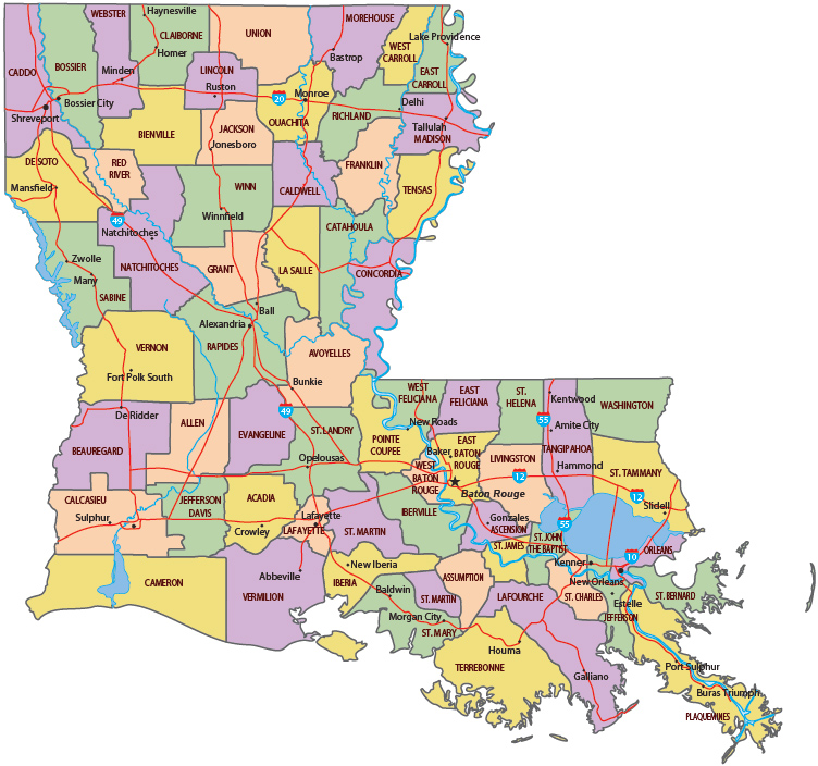
Political Map of Louisiana
Tram in New Orleans.


|
Copyright © Geographic Guide - Travel United States of America. |
Source (edited): USGS National Map.
Map of Louisiana