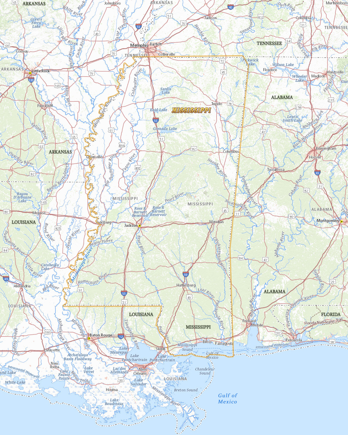
Map of Mississippi
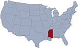
The U.S. state of Mississippi entered the Union in 1817 and lies within the Gulf of Mexico Coastal Plain. Jackson is the state capital and the largest city. Mississippi is bordered by the states of Tennessee, Alabama, Louisiana and Arkansas.

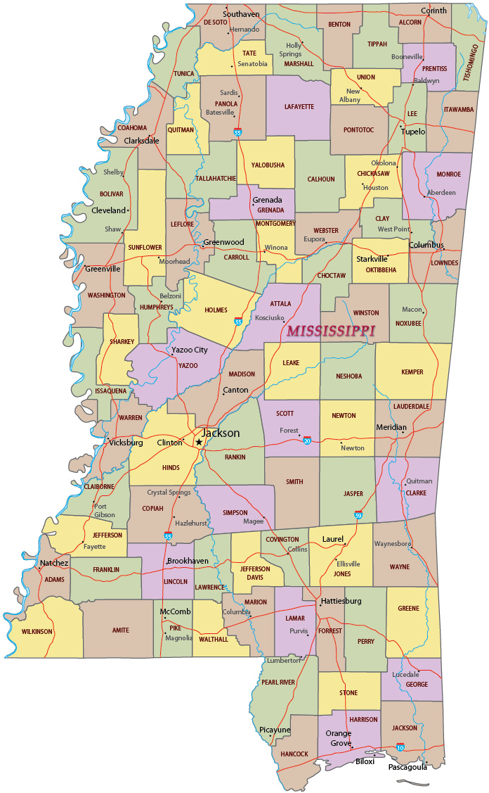
Political Map of Mississippi
Alligator mississippiensis in a swamp.

|
Copyright © Geographic Guide - Travel United States of America. |
Source (edited): USGS National Map.