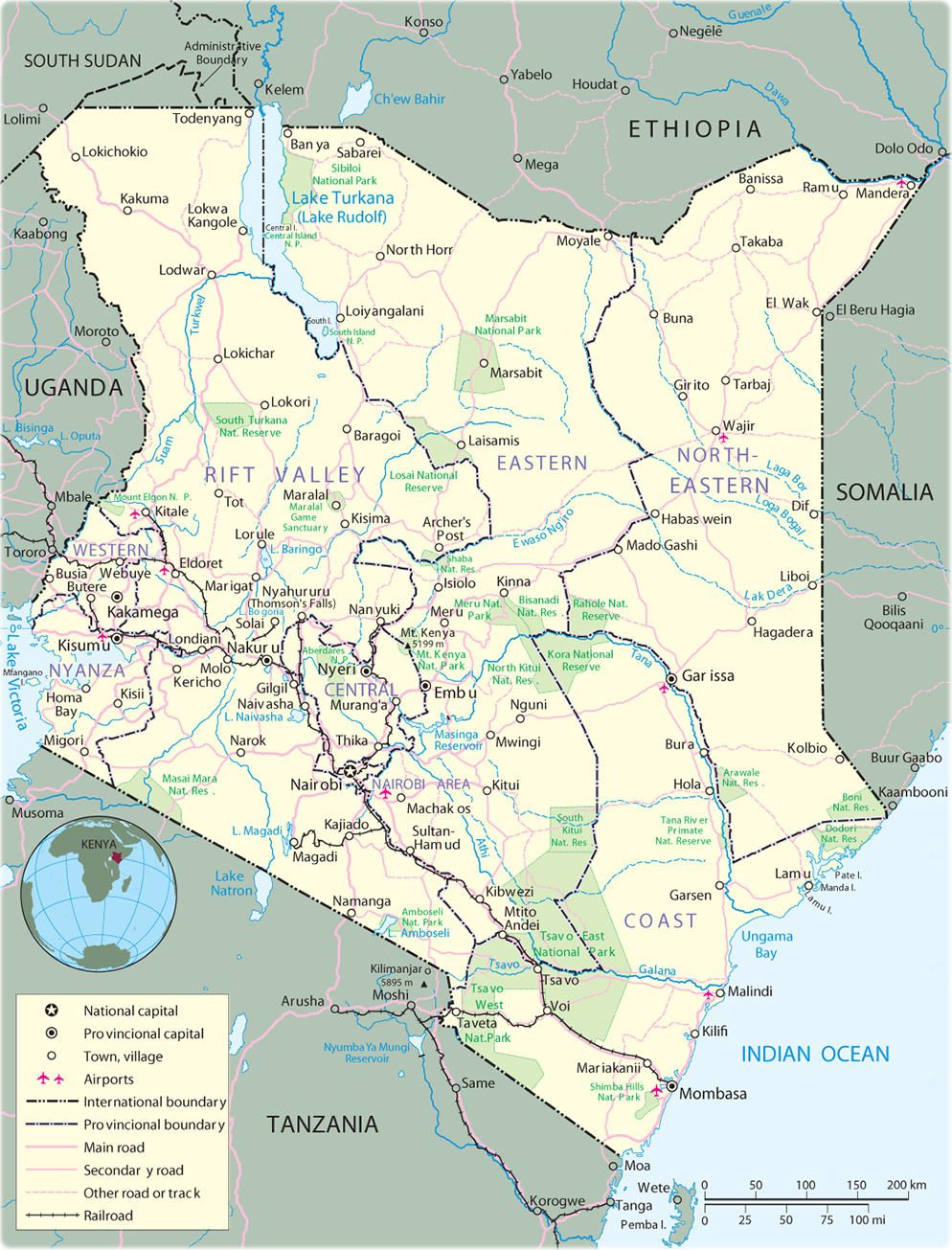
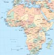
Map of Kenya
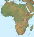
◄ Africa
Map Kenya: CIA, 1988.
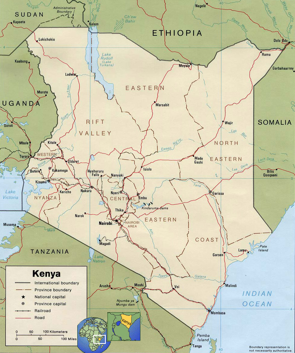
Kenya is a country in East Africa, a former British colony, independent since 1963. The capital and largest city is Nairobi. It is bordered, on the north, by South Sudan and Ethiopia, on the east by Somalia and the Indian Ocean, on the south by Tanzania, and on the west by Lake Victoria and Uganda.
Note: The administrative divisions of Kenya has changed since 2013.
|
Copyright © Geographic Guide - Travel African Continent. |
Map of Kenya