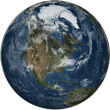
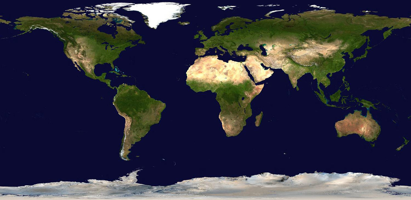
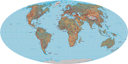
Image Mosaic of the Earth
A seamless image mosaic of the Earth. This spectacular view is the most detailed true-color image of the entire Earth to date. Using a collection of satellite-based observations, scientists and visualizers stitched together months of observations of the land surface, oceans, sea ice, and clouds into a seamless, true-color mosaic of every square kilometer of our planet.
Much of the information contained in this image came from a single remote-sensing device - NASA's Moderate Resolution Imaging Spectroradiometer, or MODIS, flying over 700 km above the Earth onboard the Terra satellite. The land and coastal ocean portions of these images are based on surface observations collected from June through September 2001 and combined, or composited, every eight days to compensate for clouds that might block the sensor's view of the surface on any single day.
Two different types of ocean data were used in these images: shallow water true color data and global ocean color (or chlorophyll) data. Image courtesy of NASA/Goddard Space Flight Center Scientific Visualization Studio (CIA - The World Factbook).
|
Copyright © Geographic Guide - Travel. |
Indian Ocean
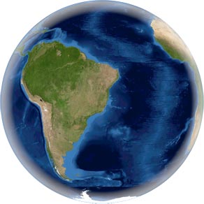
America
|
◄ Maps |
Pacific Ocean
Image Mosaic of the Earth
Atlantic Ocean