Image of the Sahara Desert
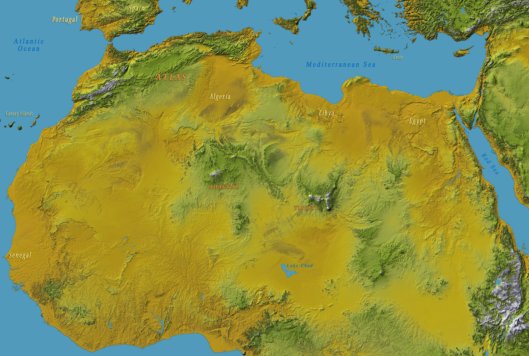
Shuttle Radar Topography Mission, Colored Height, NASA
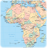
The Sahara (from Arabic sahra, desert) is the largest desert in the planet. It fills almost all of north Africa, covering large parts of Algeria, Chad, Egypt, Libya, Mali, Mauritania, Morocco, Niger, Western Sahara, Sudan and Tunisia. Its highest point is the Mount Koussi in the Tibesti Mountains (3,415 m) in Chad. The lowest point is in the Qattara Depression in Egypt, 133 meters below sea level. The permanent absence of clouds allows unhindered light and thermal radiation in most part of the desert.
|
Copyright © Geographic Guide - Geography of Planet Earth. |
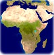
◄ Africa
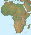
Image of the Sahara Desert