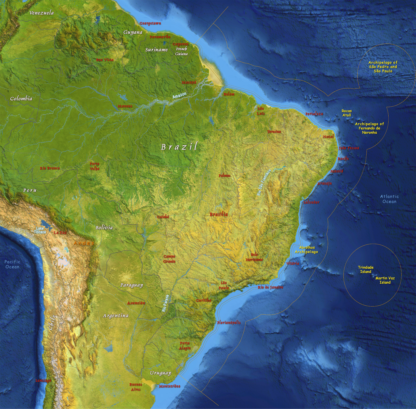
Satellite Image of Brazil
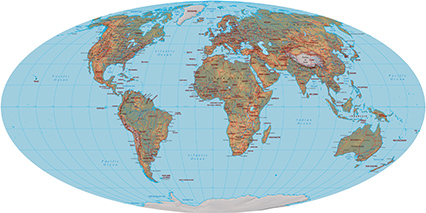
Major rivers: Amazon river mouth (shared with Peru) - 6,400 km; Río de la Plata/Paraná river source (shared with Paraguay, Argentina, and Uruguay) - 4,880 km; Tocantins - 3,650 km; São Francisco - 3,180 km; Paraguay river source (shared with Argentina and Paraguay) - 2,549 km; Rio Negro (shared with Colombia and Venezuela) - 2,250 km; Uruguay (shared with Argentina and Uruguay) - 1,610 km.
|
Copyright © Geographic Guide - Travel South America. |
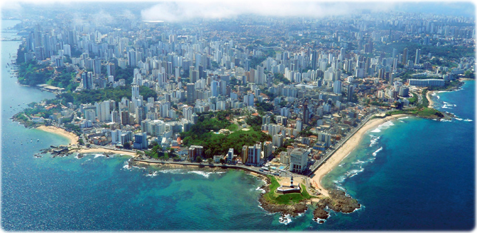
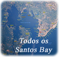
The first Brazilian city, Salvador, Bahia, also the first capital of Brazil. The Baía de Todos os Santos was discovered by Portuguese in 1501. It was well developed before the first European settlement in the United States, in the 17th century. This historic city is one of the most valuable heritage sites in the world, with churches and forts from the 16th century and the first beacon in America (Farol da Barra). Salvador is also known by its beauty. Porto da Barra was ranked, by both CNN and The Guardian, as one of the world's best beaches.
Farol da Barra
Porto da Barra

Andréia Brandão