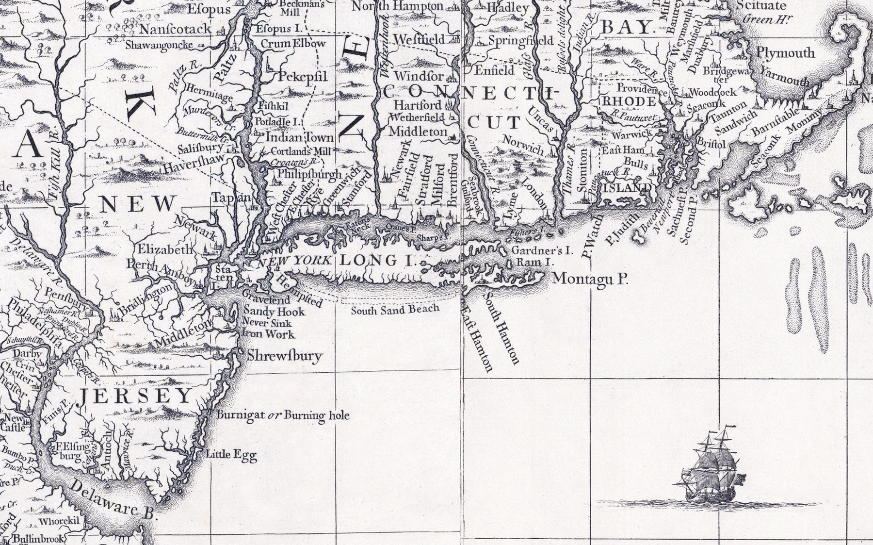
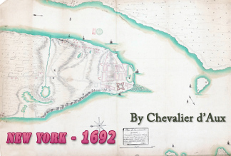
Long Island Map, New York - 1733
This is a fragment of A Map of the British Empire in America with the French and Spanish Settlements adjacent thereto, by Henry Popple. It was originally engraved by Willm. Henry Toms & R.W. Seale, published in London, in 1733. 1st edition, 1st state. King George II copy. Popple's map was widely copied by other cartographers. It was published as a wall map and as an Atlas. Source: David Rumsey Historical Map Collection.
Dutch explorer Adriaen Block visited the area in 1615 and he is credited as the first European to determine that both Manhattan and Long Island are islands. The very first European settlements on Long Island were by settlers from England and its colonies in present-day New England. Early in the Independence War, the Long Island was captured by the British from General George Washington. After the British victory on Long Island, many Patriots withdrew, leaving mostly Loyalists behind. The island was a British stronghold until the end of the war in 1783.


Long Island Map, New York - 1733
More: Maps of NYC - 18th Century ►
|
Copyright © Geographic Guide - 18th Century NYC. |
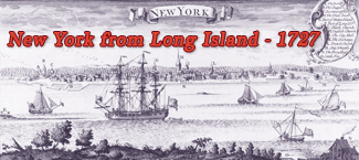
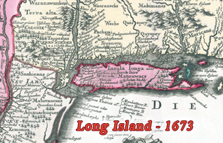
Inset from the same map.