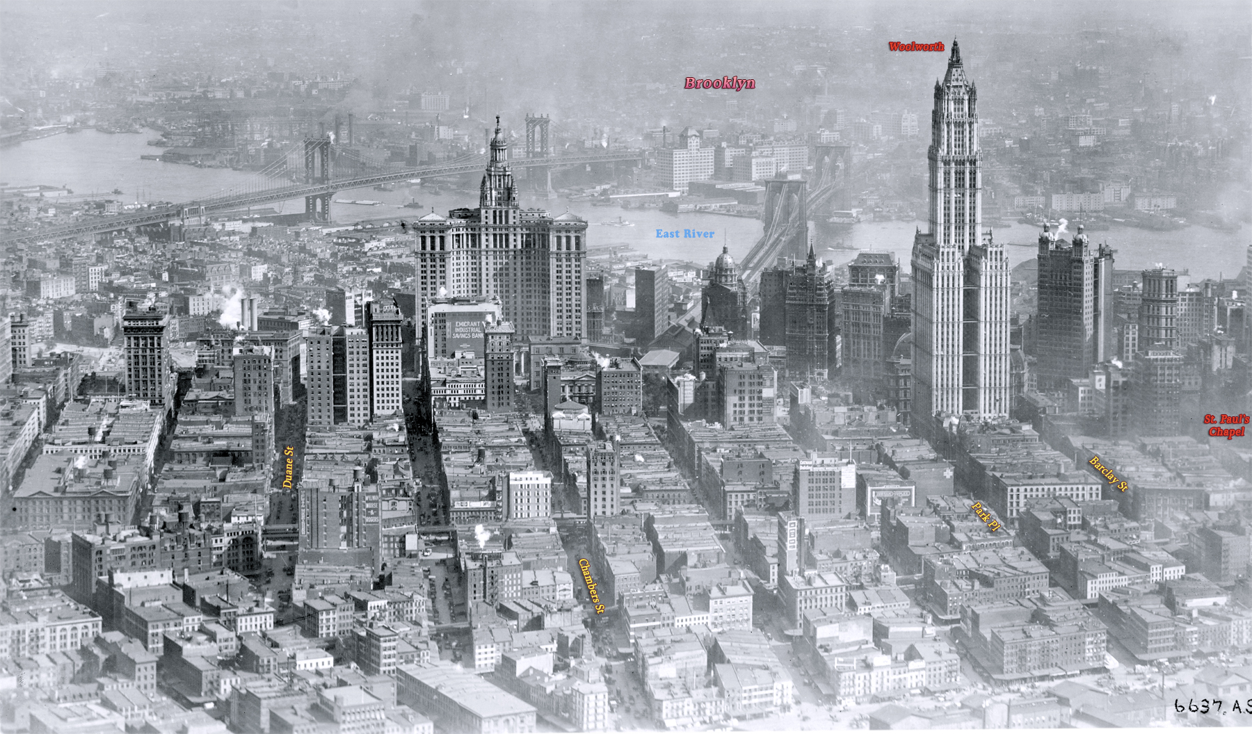
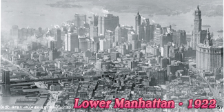
Lower Manhattan from Tribeca - early 1920s
Aerial photo of Lower Manhattan, looking east from what is now Tribeca neighborhood toward East River. West Street, then the westernmost street in Manhattan, is in the foreground. Undated photograph (probably the early 1920s). Source: Records of the Army Air Forces, U.S. National Archives and Records Administration.
The City Hall Park is in the center of the photo and the neo-Gothic Woolworth Building, at 233 Broadway, was then the tallest building in the world. The Brooklyn and Manhattan bridges are seen over the East River. The Municipal Building (between the bridges) began to be occupied in 1913 and it was fully completed in 1917.
The region in the foreground is now the Tribeca neighborhood, a syllabic abbreviation of "Triangle Below Canal Street". This "triangle", in fact a quadrilateral, is bounded by Canal Street, West Street, Broadway, and Vesey Street. The name Tribeca was coined in the early 1970s.
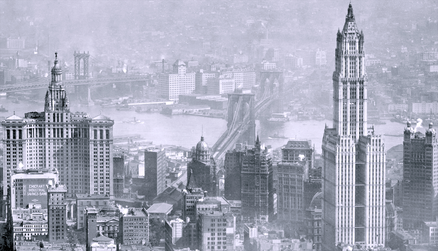
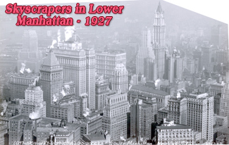
Below, enlargement of the skyscrapers in the center of the photo.
|
Copyright © Geographic Guide - 20th Century NYC Skyscrapers. |
Lower Manhattan from Tribeca - early 1920s