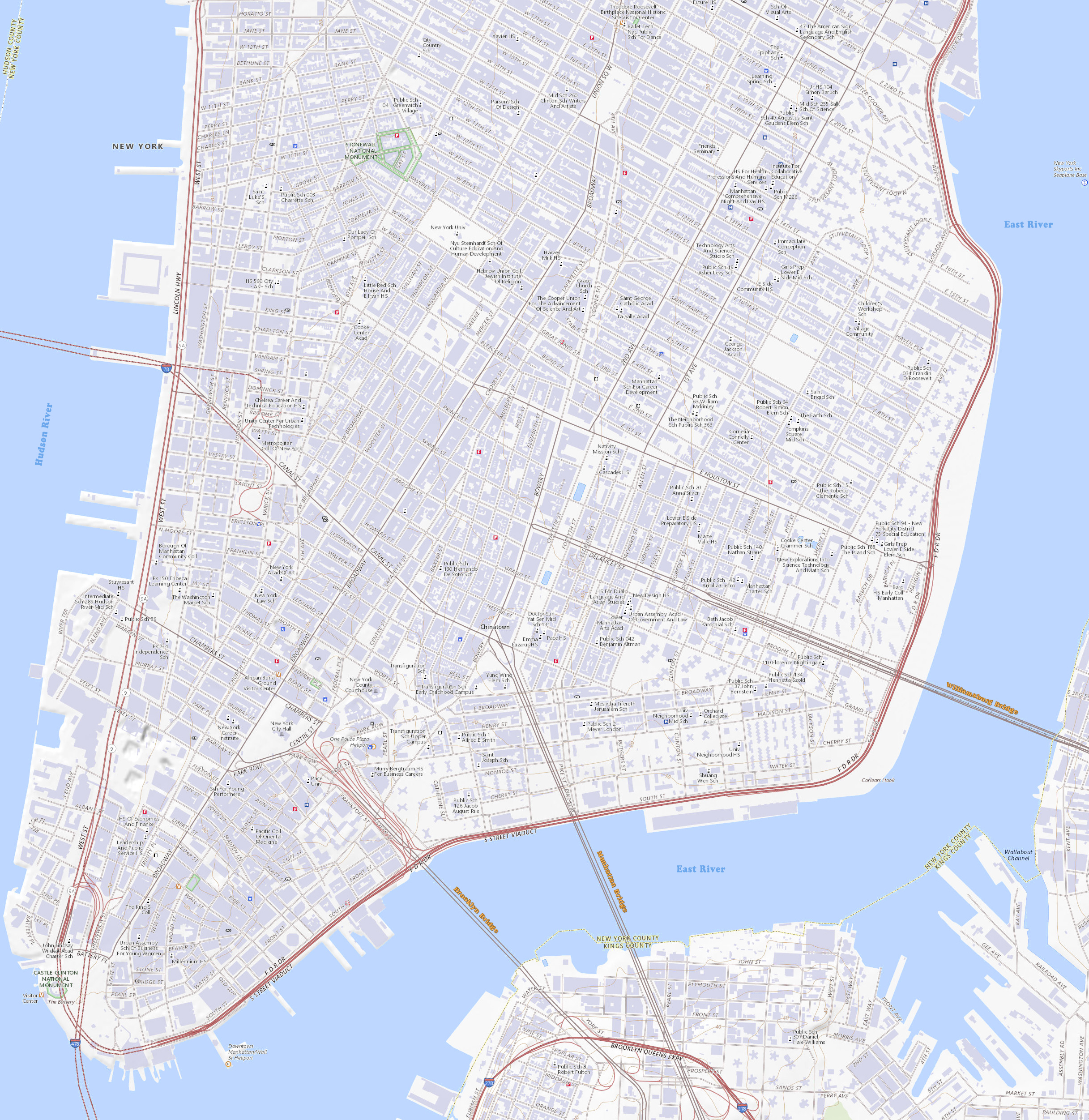
Map Lower Manhattan, New York City
Map of Lower Manhattan, New York County. Source: USGS National Map based on April 2023 National Boundaries Dataset, Geographic Names Information System, National Hydrography Dataset, National Land Cover Database, and National Transportation Dataset and more.
Lower Manhattan, also known as Downtown New York City, is the southernmost part of Manhattan. It is the historical birthplace, business and cultural center of New York City, and it serves as its seat of government. Despite various definitions of Lower Manhattan, they usually include the area on Manhattan Island delineated to the north by 14th Street, to the west by the Hudson River, to the east by East River, and to the south by New York Harbor.
More: Historical maps of New York City ►
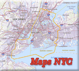
◄ Maps NYC

State of


Now Whitehall Street and the historic Fort.

More: Historical maps of New York City ►


Map Lower Manhattan, New York City

|
Copyright © Geographic Guide - Travel New York City. Maps of USA. |
Map base source: USGS National Map.