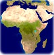
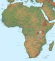
Madagascar Satellite Image - Africa
The world's fourth largest island. The narrow strip of green along the east coast of the island is a rain forest. The west coast is lined with baobabs, a desert tree with a fat trunk, and thorny forest (NASA, Terra satellite - September, 2003). See a Madagascar detailed map ►
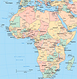
Mozambique Channel

|
|
Copyright © Geographic Guide - Travel, African Continent. |