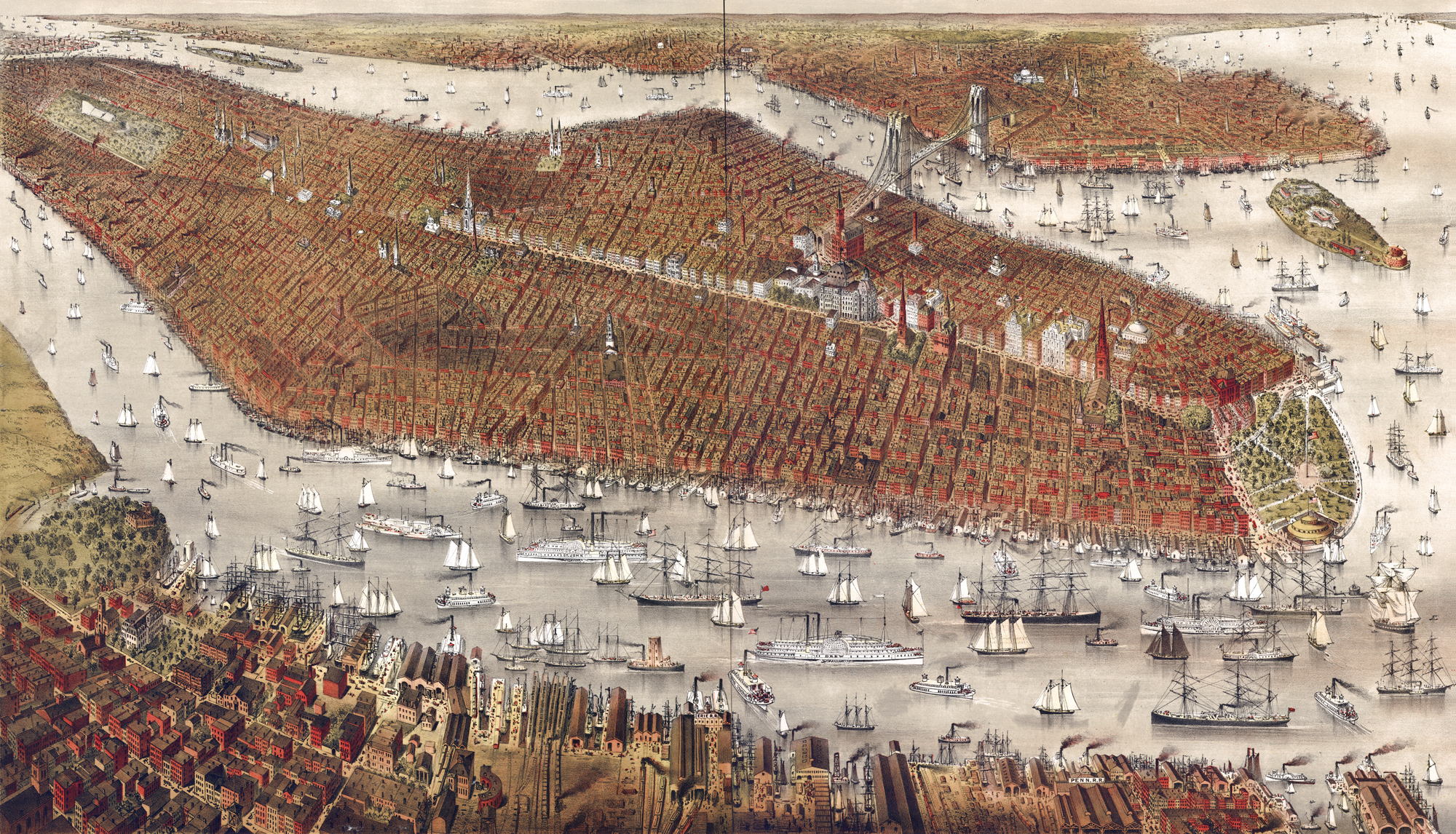
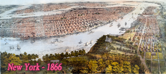
New York City and Brooklyn - 1877
Original title: New York and Brooklyn, with Jersey City and Hoboken water front. Perspective map not drawn to scale, shows points of interest, copyright 1877. Sketched and drawn on stone by Parsons & Atwater. Published by Currier & Ives. Source: Library of Congress Geography and Map Division. Note: Brooklyn Bridge was under construction at the time. It opened to traffic in 1883.
In 1870, the largest city in the New York State was New York, with a population of 942 thousand. The second largest city was Brooklyn, with 396 thousand people. In 1880, the City of New York had 1,2 million people and Brooklyn, 567 thousand. The two cities merged in 1898 with Bronx, Queens and Staten Island.
More: Historical maps of New York City ►
|
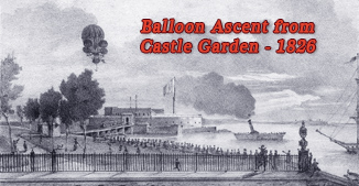
Copyright © Geographic Guide - 19th Century NYC. Historic Buildings. |
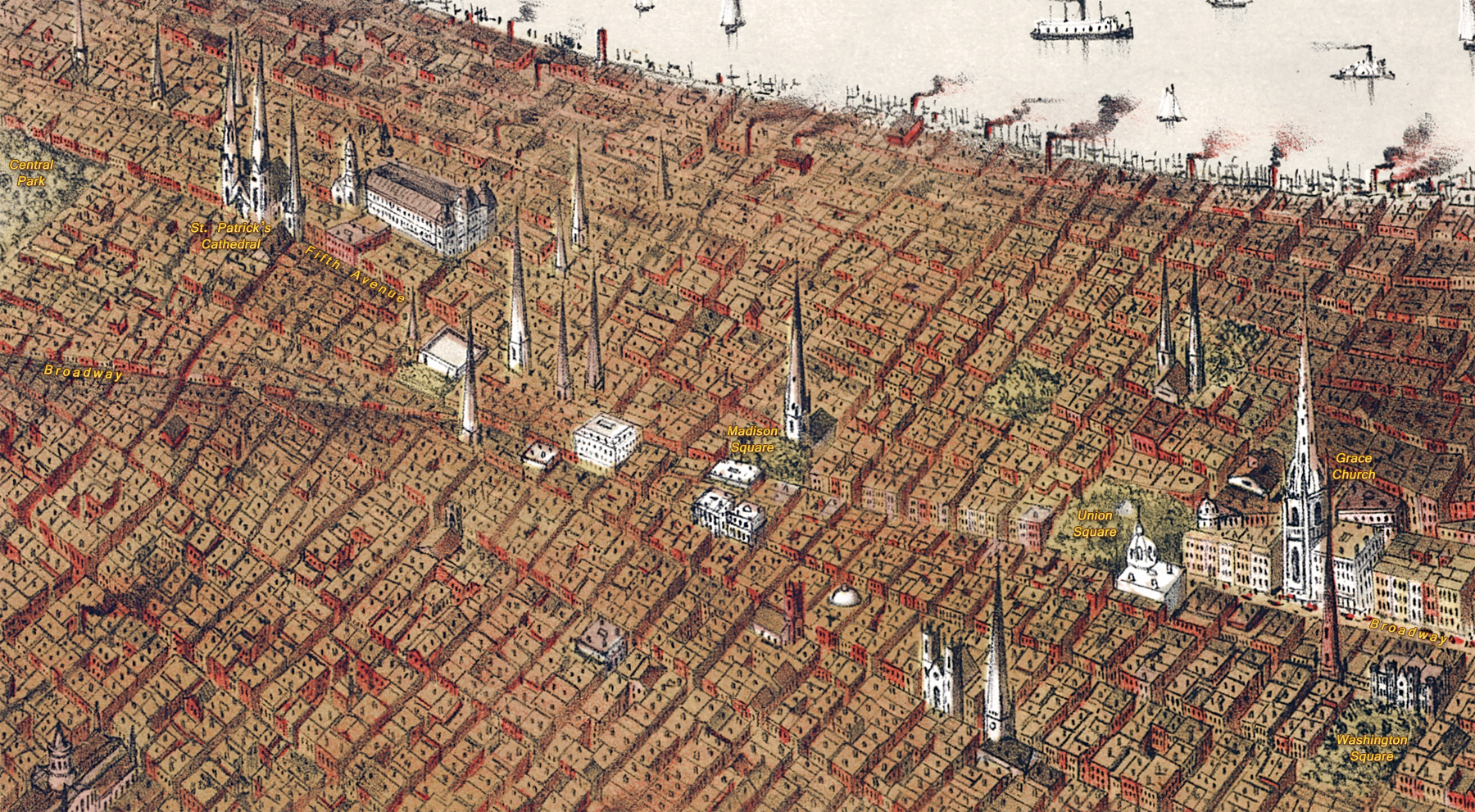

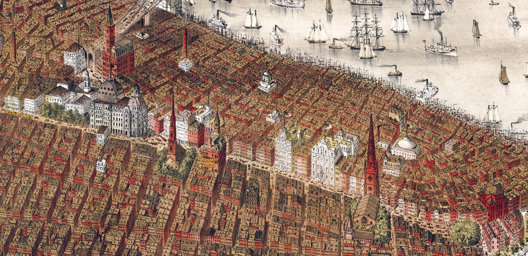
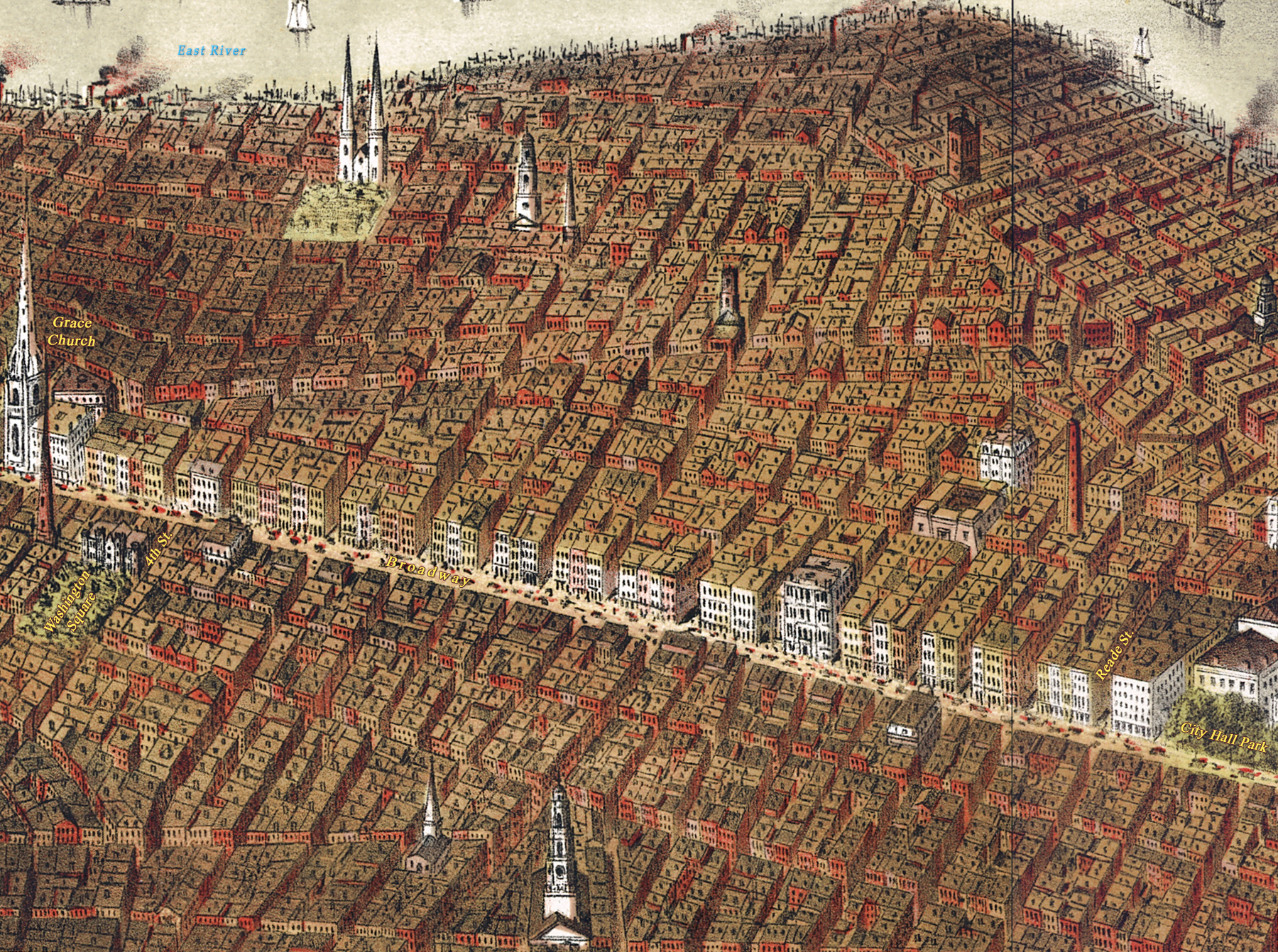
Enlargement of Midtown Manhattan part. Below, Lower Broadway
New York City and Brooklyn - 1877