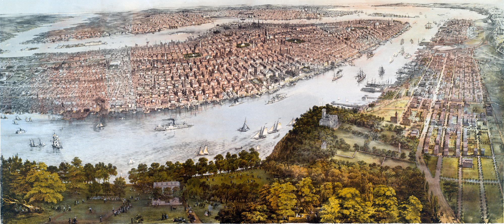
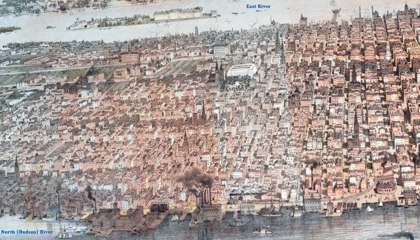
Panorama of New York and Vicinity - 1866
Panoramic illustration of New York, showing the southern part of Manhattan Island, Brooklyn, in the distance, and Jersey City, in the foreground. This was New York a couple of years before the race to build skyscrapers. The Civil War had ended in 1865 and New York was thriving again. The hippest place in Manhattan was then the area around City Hall Park.
Drawn and published by John Bachmann. Printed by Julius Bien. Source: New York Public Library.
New York harbor is protected from the ocean by Staten Island and the Brooklyn peninsula. It is much deeper than the harbor of Boston or Philadelphia and this became increasingly important as ship tonnage increased starting in the 1790s. In 1860, New York end up having five or six times the exports of Boston and 25 times the exports of Philadelphia. The rise of New York City as the dominant port can be seen as an early example of a hub-and-spoke transportation network.
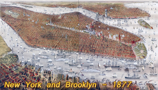
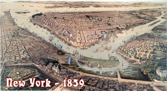
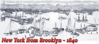
More: Historical maps of New York City ►

Panorama of New York and Vicinity - 1866
Below, enlargement of the central part.
Below, enlargement of the part on the left (Midtown).
|
Copyright © Geographic Guide - Nineteenth Century NYC. |