Manhattan Island - 1937
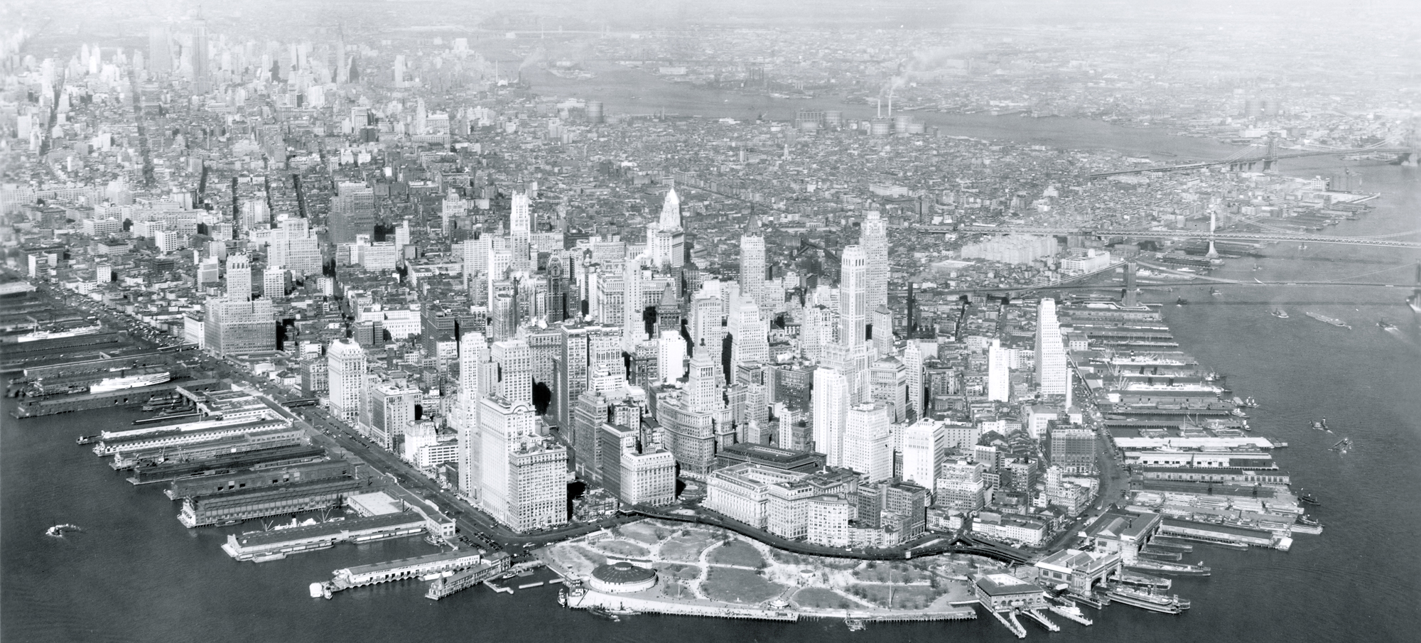
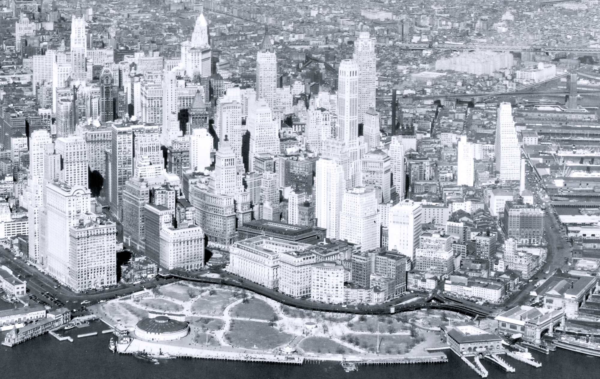
Aerial photo of Manhattan, looking north from Battery Park. Photograph dated March 30, 1937. Battery Park is in the foreground, Hudson River, a tidal estuary that separates the Bronx and Manhattan from Northern New Jersey, is on the left and East River is on the right. Below, enlargement of buildings in Lower Manhattan around Lower Broadway and Wall Street. Source: Records of the Army Air Forces / U.S. National Archives and Records Administration.
Castle Clinton, in the Battery, was built on a small artificial island just off shore. Construction began in 1808 and the structure was completed in 1811. Later, a landfill joined Castle Clinton to Manhattan. In the 1970s, other landfill (Battery Park City) replaced the docks in the Hudson River waterfront, on the left, and parks, museums and others cultural and sports venues were constructed in the area. The East River is on the right.

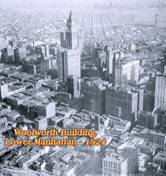
Manhattan Island - 1937
|
Copyright © Geographic Guide - 20th Century NYC Skyscrapers. |