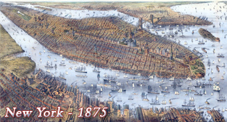
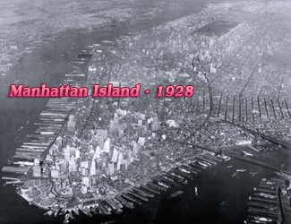
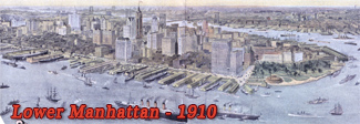
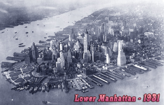
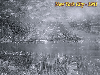
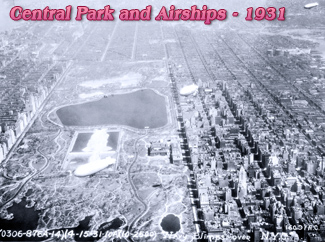
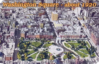
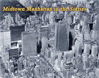
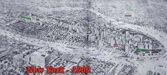
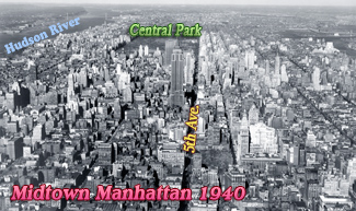
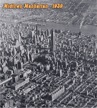
Aerial Vintage Views of New York City
The first aerial images of New York City were taken from balloons. Aerial photography with planes has become popular since the second decade of the 20th century. Today, the use of drones is a fashion.
Maps and Panoramic Views of NYC:
• Maps of NYC ►
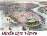
• Bird's Eye Views of New York ►
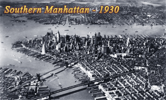
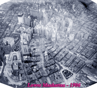
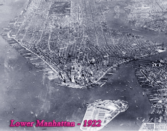
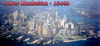
• Aerial Views of Lower Manhattan ►
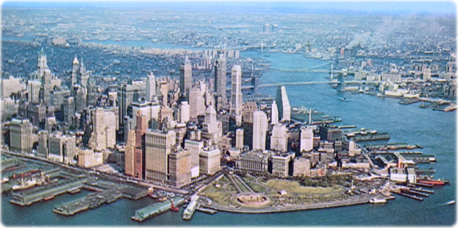
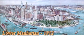
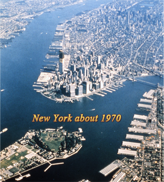
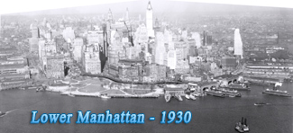
Aerial view of Lower Manhattan in a vintage postcard by Alfred Mainzer, Inc., postmark April 1963. Color photo by Herbert Lanks.
|
Copyright © Geographic Guide - Old Images of NYC. |


Aerial Vintage Views of New York City