
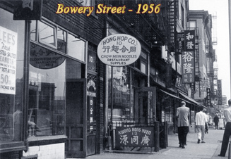
The Bowery
Antique Images
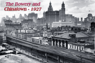
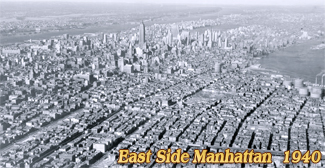
The Bowery is a historic street and a district in the Lower East Side, Manhattan, extending from Chatham Square to the intersection of Cooper Square and Fourth Street.
It was a Native American foot path of the Lenape tribe. The name comes from Bouwerij, an old Dutch word for farm. Prior to 1807, it was known as Bowery Lane. At that time the area around contained several farms.
In the mid-19the century the Bowery was in its heyday an some maps indicated that Bowery ended in Union Square at 14th Street.
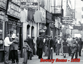
By the late 19th century, Bowery became home of popular theaters, shops, lodging houses, cheap jewelry stores and pawnbrokers. It was one of the major entertainment districts in New York City.


Cooper Square, looking toward Bowery, about 1906. Third Avenue elevated crossing Fourth Avenue. Looking south from Peter Cooper Monument and Square. Hand colored postcard by Rotograph Company (see an older view below).


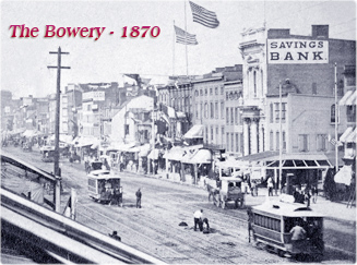


The Bowery


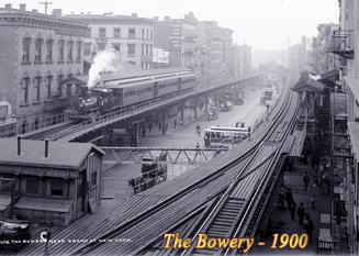
Above, elevated trains on The Bowery looking north from Grand Street, 1904. It is one of NYC's oldest thoroughfares. Vintage postcard by American News Company. Below, The Bowery Looking South from Cooper Union, 1864. Oil painting by unidentified artist, published in a postcard.
|
Copyright © Geographic Guide - Old images of NYC. |