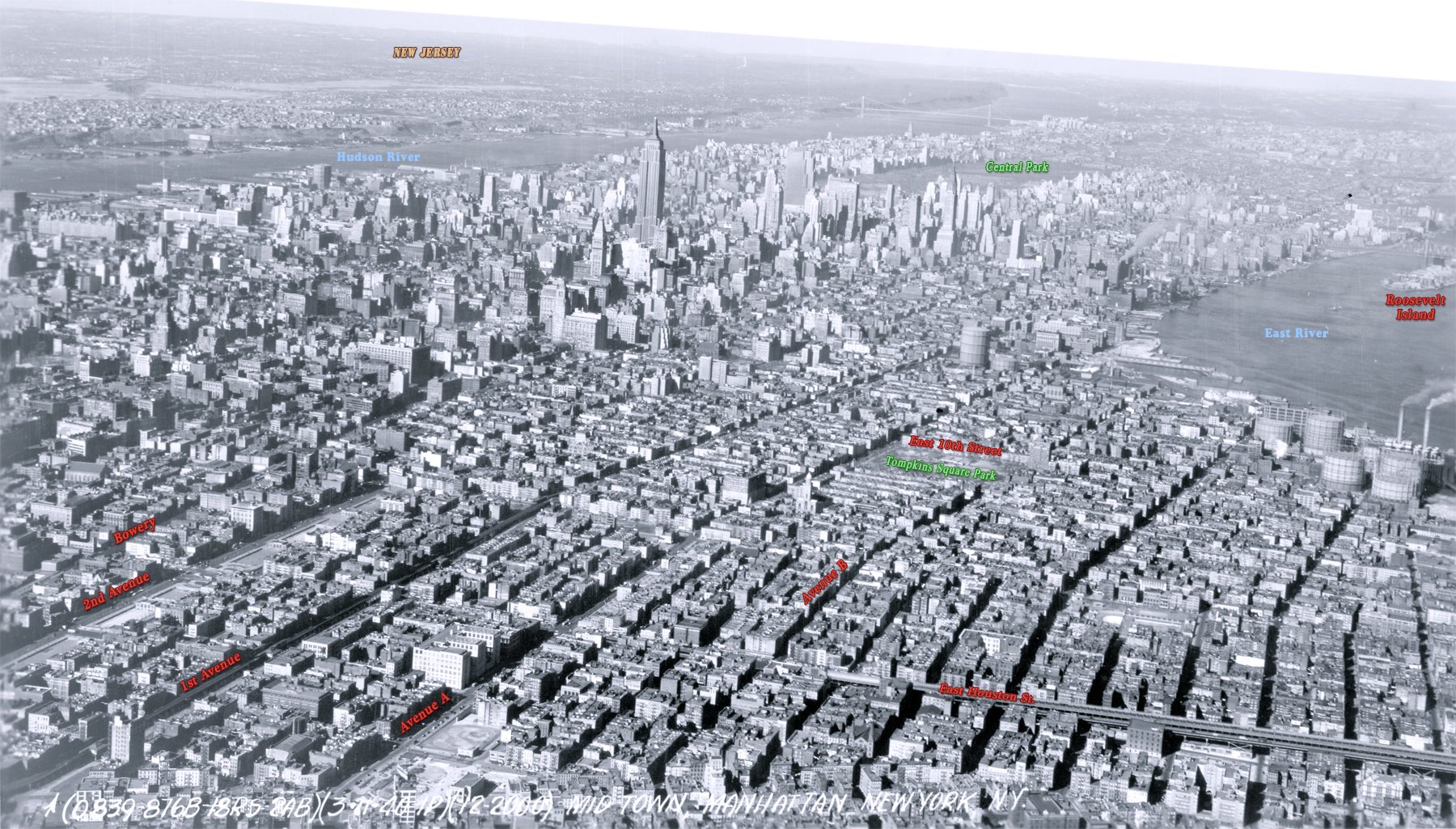
East Side Manhattan - 1940
Aerial photo of Manhattan, looking north from the East Side toward Midtown. Photograph dated March 11, 1940. Source: Mitchel Field, Records of the Army Air Forces / U.S. National Archives and Records Administration.
East Side Manhattan is in the foreground, showing Bowery, 1st and 2nd avenues, Avenue A, Avenue B, East Houston Street and Tompkins Square Park, with additional text. East River is to the right. Below, enlargement of Skyscrapers in Midtown, including the Empire State Building and Rockefeller Center.
More: 20th Century Skylines of NYC ►
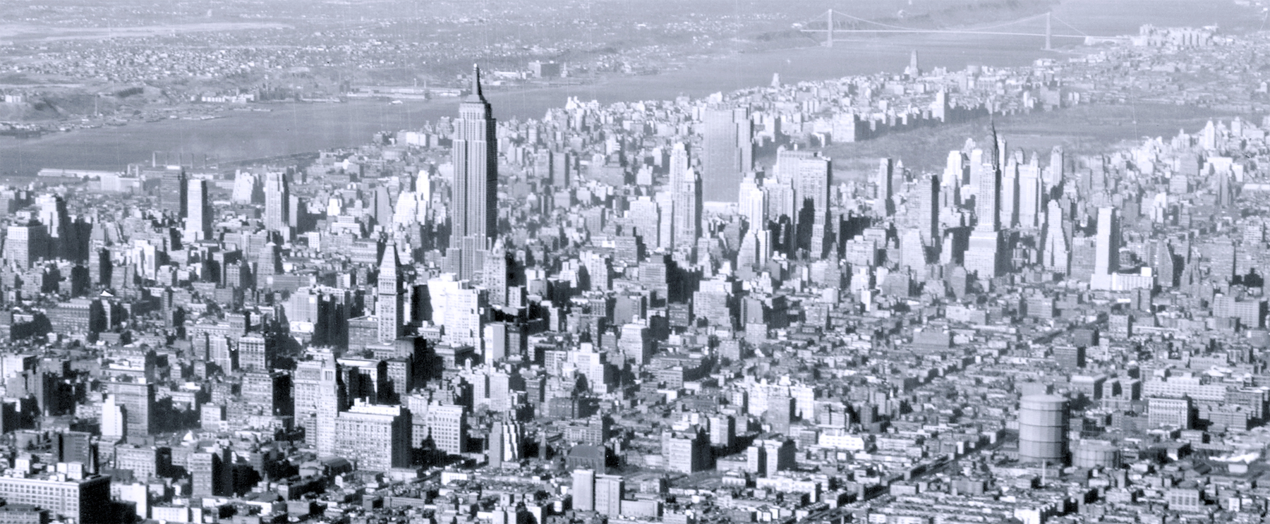
From East Side manhattan.
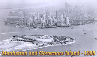
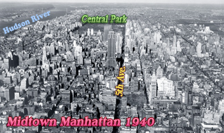
Photo taken on the same day as photo above.
East Side Manhattan - 1940
|
Copyright © Geographic Guide - 20th Century NYC Manhattan. |