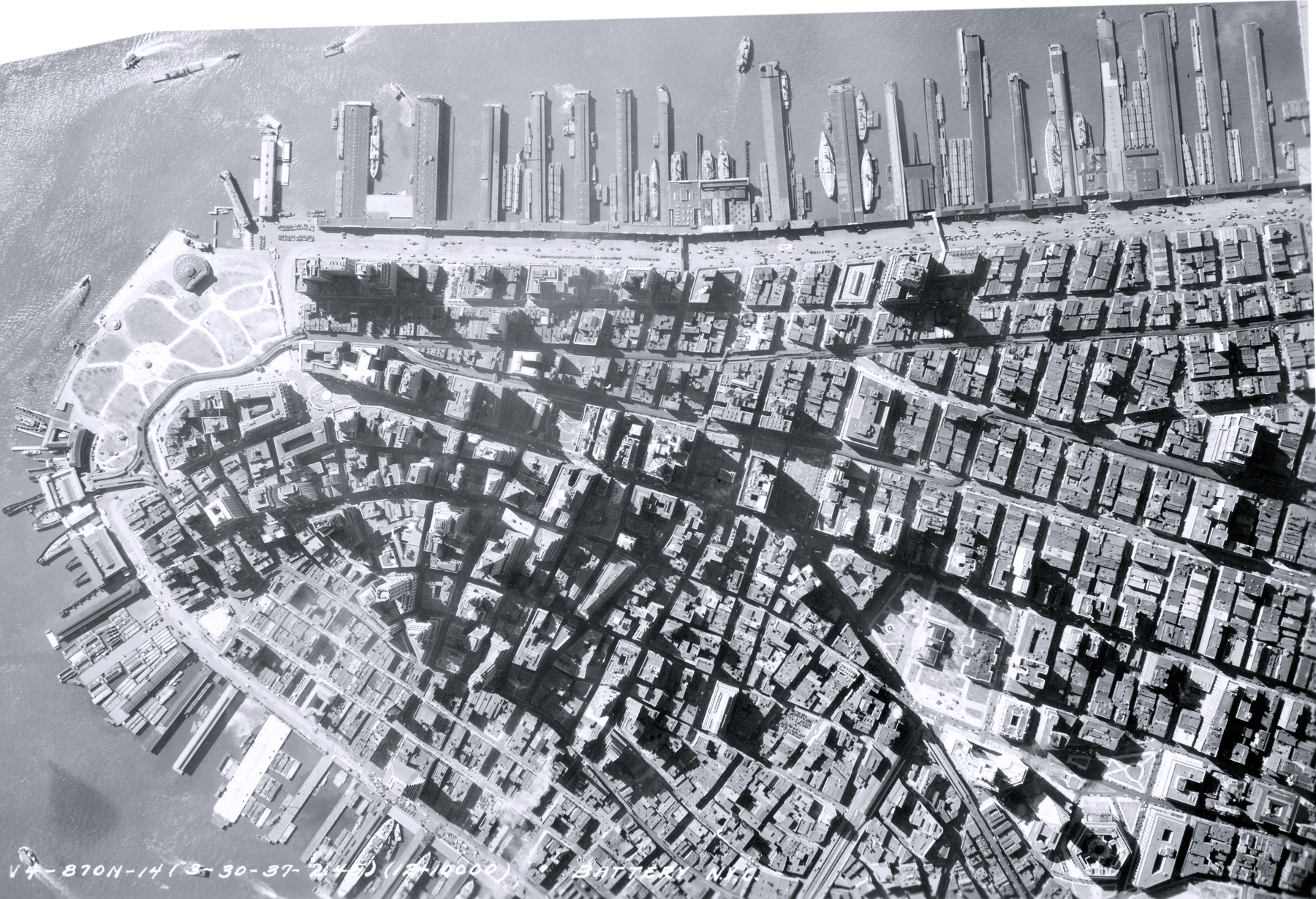
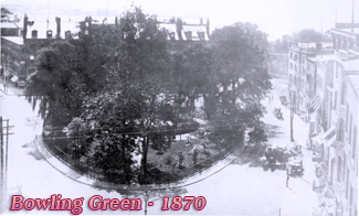
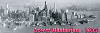
Lower Manhattan NYC - 1937
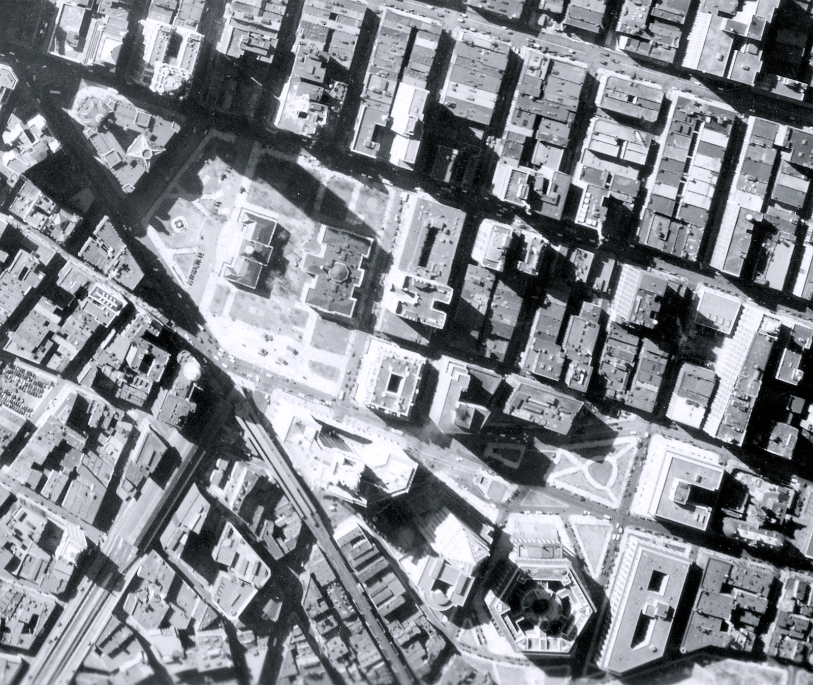
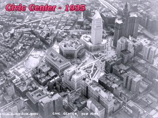
Aerial photo showing Lower Manhattan, including the Financial District (center of the photograph) and the Civic Center (enlargement below), on the right. Photograph dated March 30, 1937. Source: Mitchel Field, N.Y., Records of the Army Air Forces / U.S. National Archives and Records Administration.
Several of the skyscrapers of the time can be seen in this image. The Battery Park is on the left on the southern tip of Manhattan Island, Hudson River is at the top and the East River is at the bottom of the picture. The Federal Courthouse building (now Thurgood Marshall United States Courthouse) at 40 Centre Street was completed just a few months before and the old Post Office Building, in the southern part of City Hall Park, was demolished in about two years later.
Lower Manhattan NYC - 1937
|
Copyright © Geographic Guide - 20th Century NYC. Southern Manhattan. |