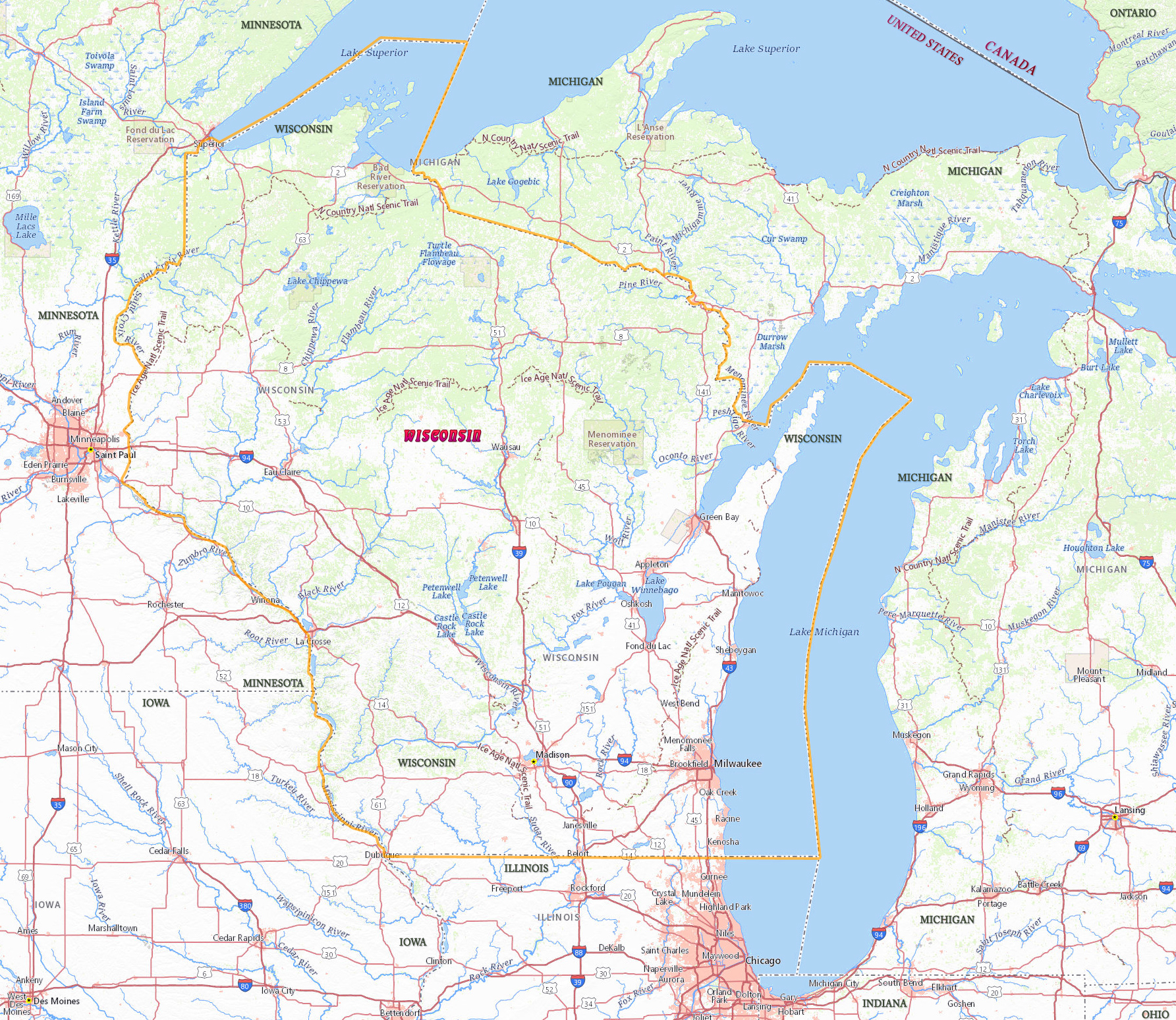
Map of Wisconsin
Wisconsin is a U.S. state in the north central region of the country. It covers 169,639 km², including 4,740 km² of inland water. The capital is Madison and the largest city is Milwaukee. Wisconsin is bordered by the Upper Peninsula of Michigan, Lake Michigan, Lake Superior, by the states of Illinois, Iowa and Minnesota.
Autumn in a lake in Minocqua, Wisconsin.
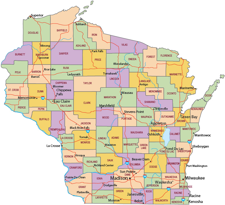
Political Map of Wisconsin


|
Copyright © Geographic Guide - Travel United States, North America. |
Source (edited): USGS National Map.
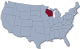
Map of Wisconsin