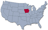
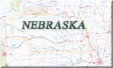
Map of Iowa
The state of Iowa lies in the heart of the North America. The State has fertile prairie lands and an agricultural economy devoted to raising grain and livestock. Iowa entered the Union in 1846. The capital and largest city is Des Moines. Iowa is bordered by Wisconsin, Illinois, Missouri, Nebraska, South Dakota and Minnesota.
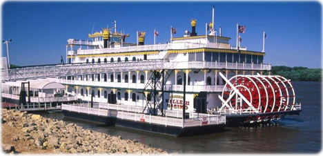
Riverboat in Mississippi River, Clinton, Iowa.
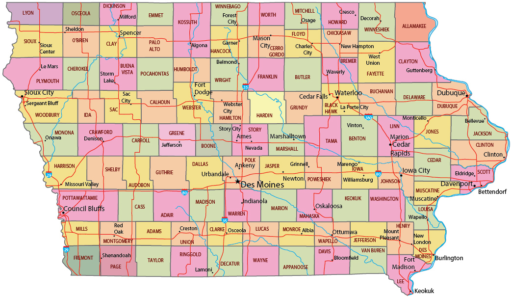
Political Map of IOWA
◄ Iowa


|
Copyright © Geographic Guide - Travel American Continent. |
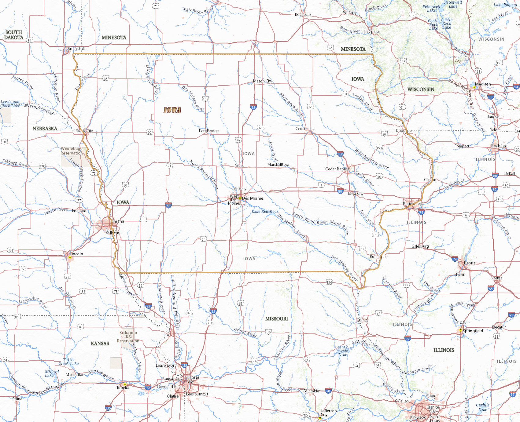
Source (edited): USGS National Map.
Map of Iowa