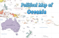
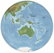
Globes of Oceania
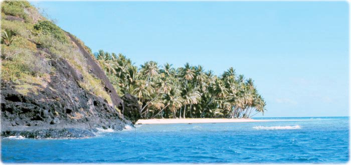
Coralline beach on volcanic island with fringing reef. Truk, Federated States of Micronesia (Caroline Islands) (photo by James P. McVey, 1971, NOAA).
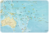

◄ Oceania
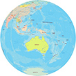
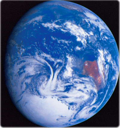
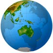
The planet Earth, as photographed from the Galileo spacecraft during its December 1990 flyby en route to Jupiter. The predominance of water on Earth is apparent, both as ocean and in the form of swirling clouds. The landmass at centre right is Australia, and the bright white patch at the bottom is the South Polar ice cap covering Antarctica.

|
Copyright © Geographic Guide - Travel Pacific Islands and Australia. |