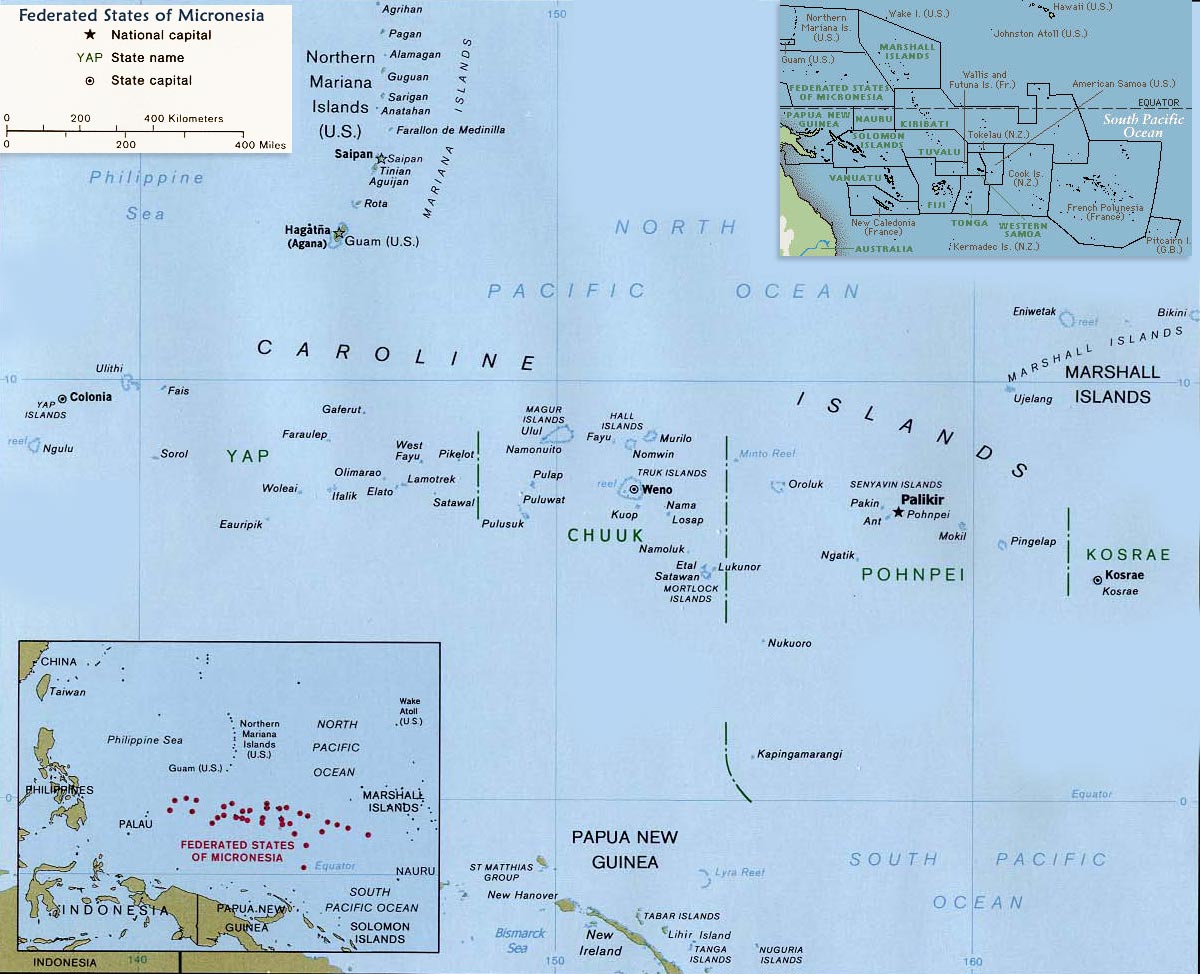
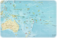
Map of Federated States of Micronesia
◄ Oceania
Micronesia, one of the three major divisions (with Melanesia and Polynesia) of the Pacific Islands, encompassing more than 2000 islands. The Federated States of Micronesia is a country that consists of more than 600 islands, of which about 60 are inhabited. From east to west, It extends more than 2,700 km.
Most islands of the FSM are low-lying coral atolls, although some of the larger islands were formed by volcanoes. Kosrae, the easternmost state, is usually considered to be one large volcanic island, but it also consists of several offshore islets, including Lelu, which is connected to the large island by a causeway. Pohnpei state contains the FSM’s largest island, the volcanic island of Pohnpei. Chuuk state contains more than 200 islands and islets, including remnants of volcanic peaks in the lagoon of Chuuk Atoll and outlying coral islands.
More in Oceania: Fiji, Australia, Guam, Nauru, Kiribati, Tuvalu.
Map: U.S. Central Intelligence Agency.
|
|
Copyright © Geographic Guide - Travel Pacific Islands and Australia. |