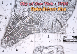
City of New York - 1796
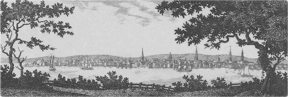
This is an inset from the Taylor-Roberts Plan on 1796 (on the right), showing a view of the City of New York. Original title: A View of the City from Long Island (probably from Brooklyn Heights). The year depicted for the map is 1796 and it was published in 1797. Drawn Benjamin Taylor, a surveyor in New York City at the time, and engraved by John Roberts (1768-1803). Source: Beinecke Rare Book & Manuscript Library, Yale University. Enlargements below.
This inset includes the following text: «The City of New York stands in the bosom of a spacious bay, on the S. West point of [New] York Island, distant from the Ocean 25 Miles. Its Harbour which is one of the best in the World, is open at all seasons. Here the first Federal Congress opened their first Session March 1789, in the City Hall, where Gen. Washington was inaugd. President of the United States.»
Trinity Church

St. Paul's Chapel
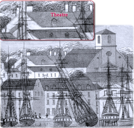
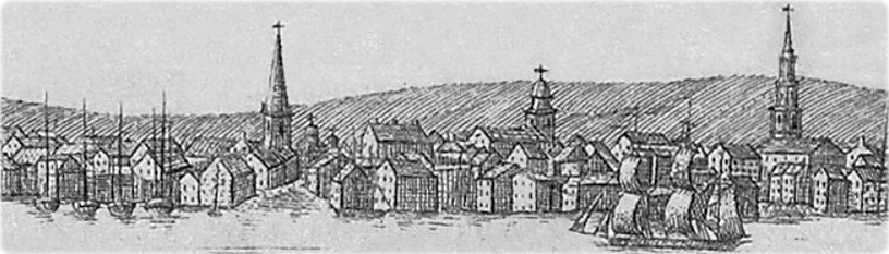
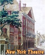
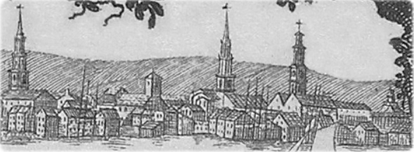
Fragment of the View of New York from Brooklyn Heights in 1798 by Saint-Mémin, showing the North Dutch Church on William Street and the rear of the New-York Theatre on the Mews (now Theatre Alley).

City of New York - 1796
|
Copyright © Geographic Guide - Old NYC. 18th Century. |
Brick Church
East River
St. George Church
St. Paul's Chapel