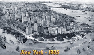
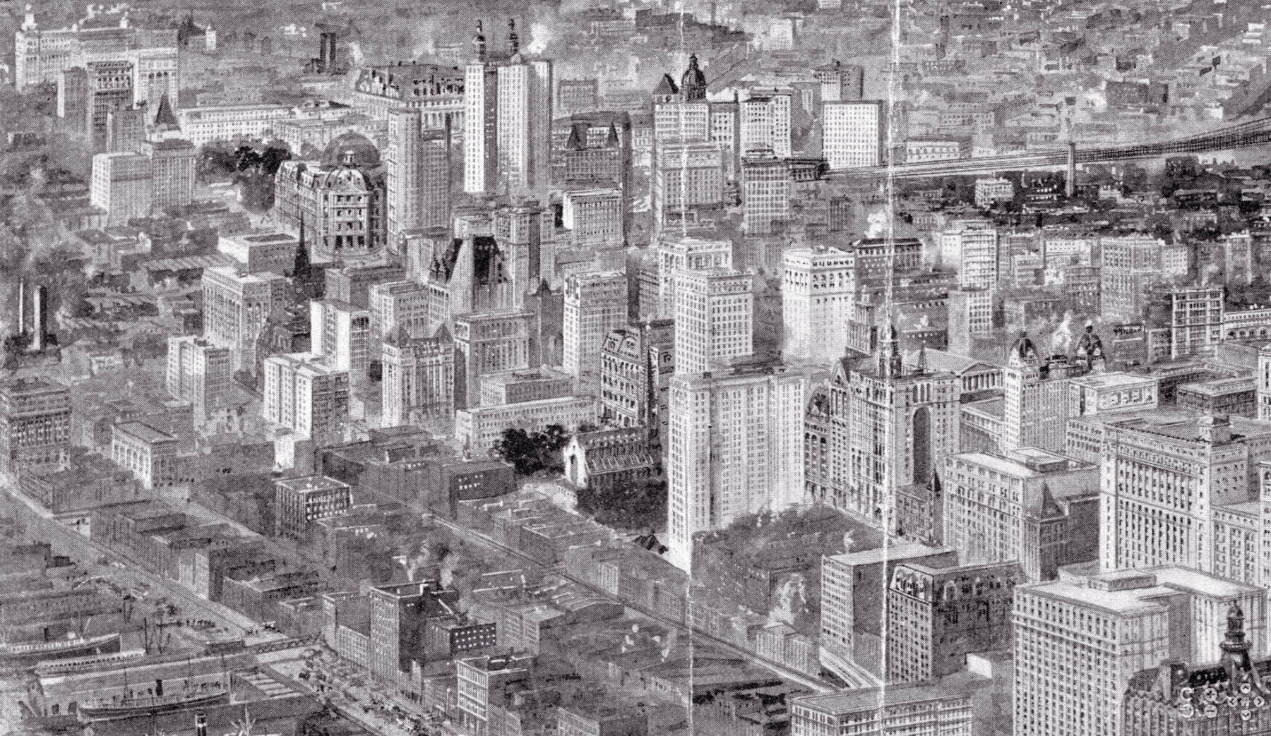
Lower Manhattan, Aerial Image - 1903
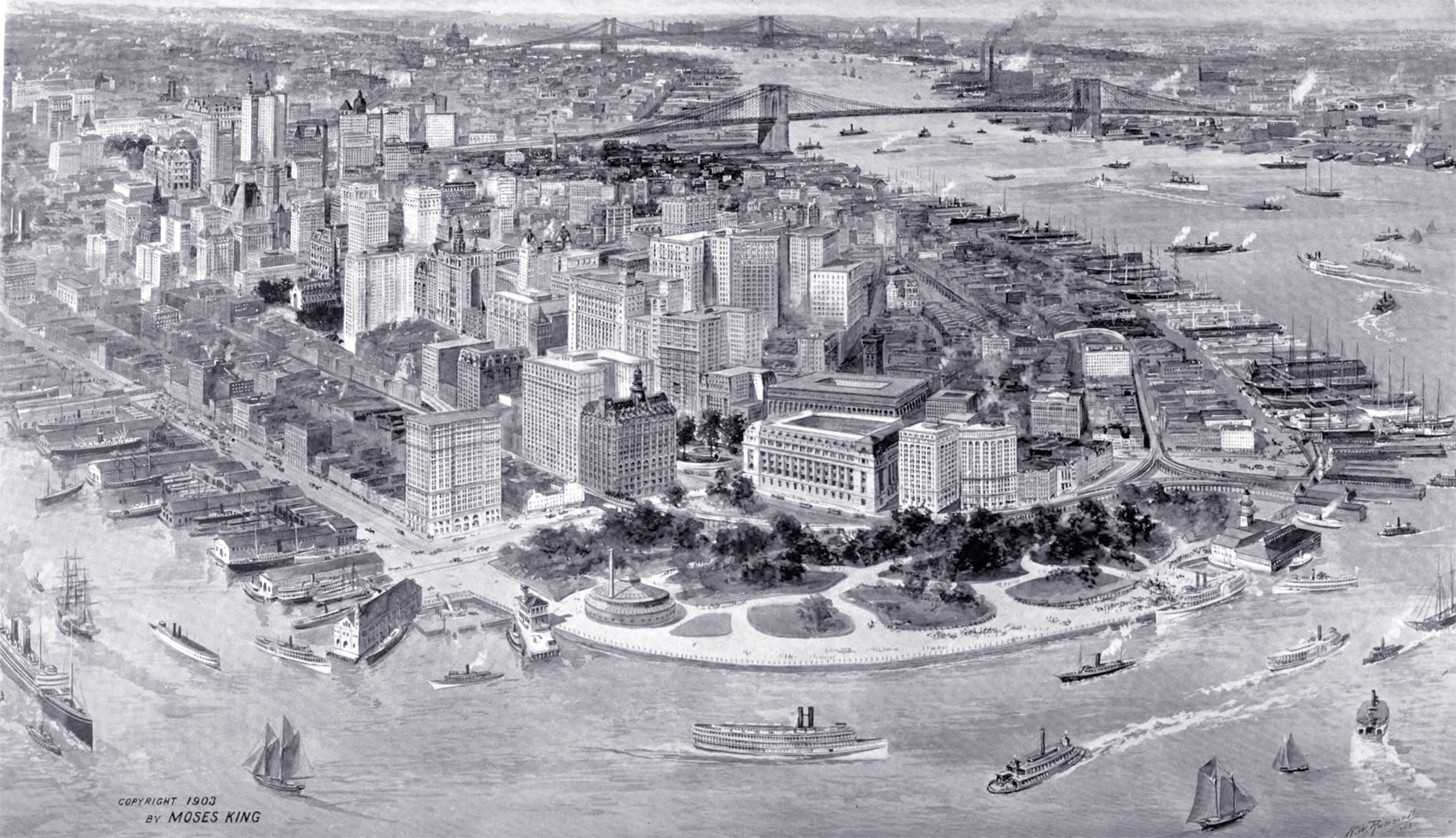
Aerial image of Lower Manhattan 1903. The Hudson River is to the left. The Battery and Bowling Green are in the foreground, crossed by the elevated railroad. Drawn by Richard W. Rummell (1848-1924). Copyrighted and published by Moses King, NY. Source: King's views of New York City 1903.
Text on print: "The richest business section of the world, America's financial center, and the headquarters of the commercial, shipping, mining and other interests. Twenty years ago Trinity Church was the city's conspicuous landmark To-day she is hemmed in by many structures greatly her superior in height, and similar structures keep rising everywhere. Along with them develop public buildings, railroads, tunnels, bridges, parks, wharves, ferries, and the vast intricate affairs of a cosmopolis with 4,000,000 people. The North River and the East River converge here and flow to the Atlantic".
Below, enlargement of the part with City Hall Park, from the Harvard Map Collection, Harvard University. More: Maps of NYC - 20th Century ►
More: Maps of NYC ►
Lower Manhattan, Aerial Image - 1903
|
Copyright © Geographic Guide - 20th Century NYC. |