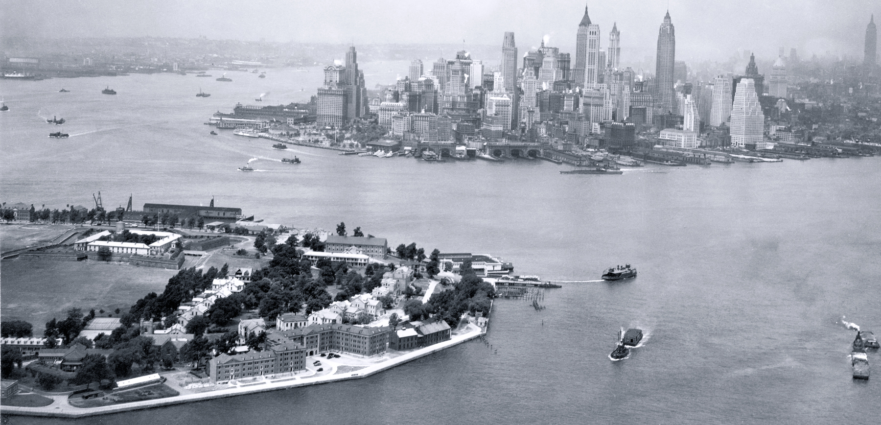
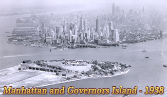
Governors Island, New York City - 1936
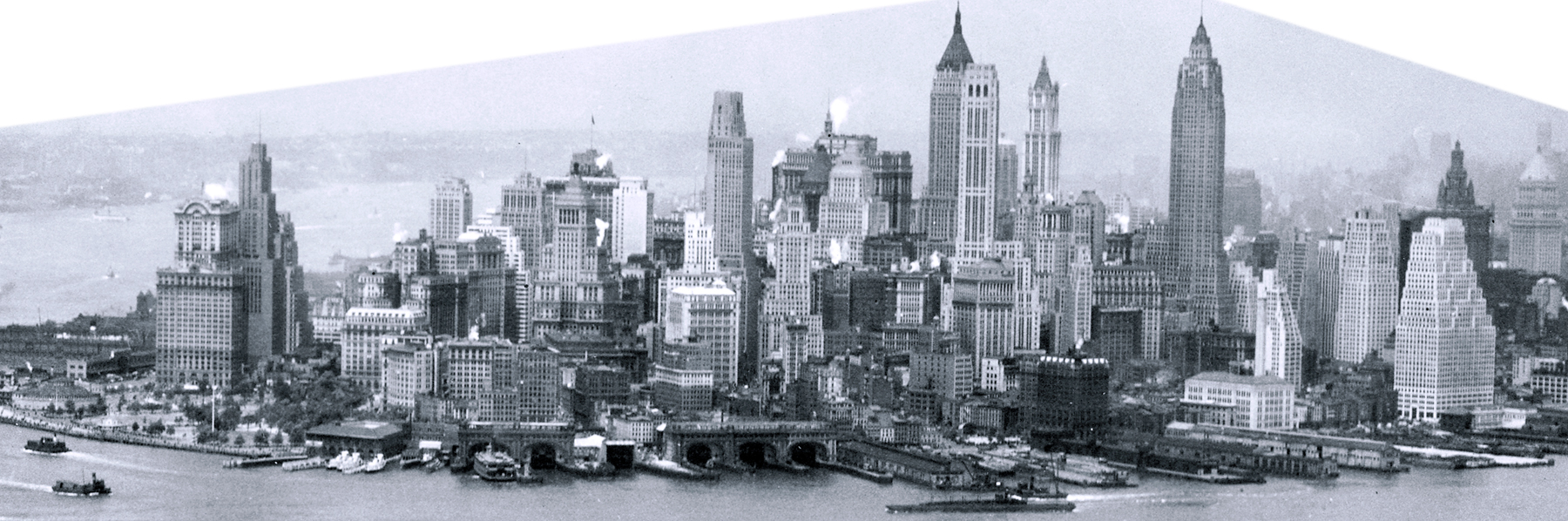
Aerial photo of Governors Island (foreground) and old skyline of Lower Manhattan, New York City, seen from the Upper New York Bay. Photo dated June 11, 1936. Text on print: Airscapes - New York. Rec'd from Bolling Field, D.C. Records of the Army Air Forces, U.S. National Archives and Records Administration.
In the 17th century, Governors Island was an early Dutch settlement. Later it became a residence for British governors and part of the defense system of the City of New York.
Hudson River is on the left and East River is to the right. Several of the skyscrapers of the first decades of the 20th century can be seen.
|
Copyright © Geographic Guide - Old Pictures, 20th Century New York City. |

Governors Island, New York City - 1936