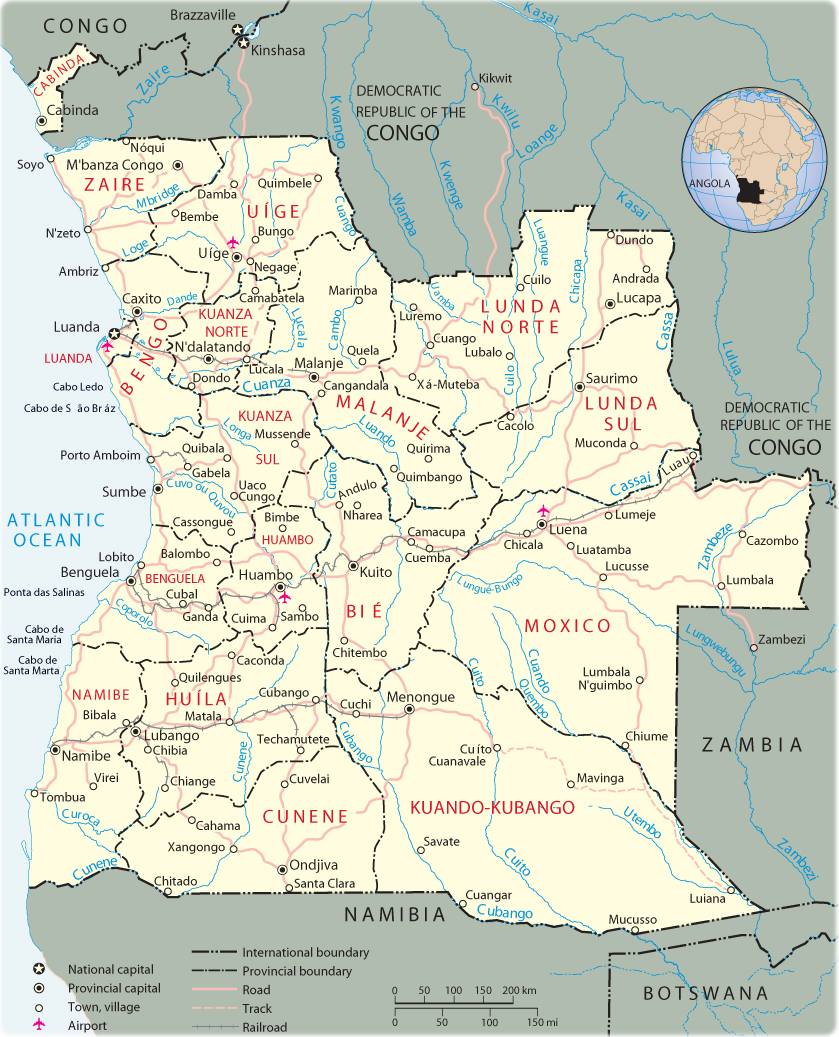
Map of Angola
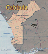
Capital Luanda, Província de Cabinda, cities of Cuíto, Benguela, Ambriz and Caconda.
The Republic of Angola is a country in Africa, bordering the South Atlantic Ocean, between Namibia and Democratic Republic of the Congo. The official language is portuguese. Provinces: Bengo, Benguela, Bie, Cabinda, Cunene, Huambo, Huila, Kwando Kubango, Kwanza Norte, Kwanza Sul, Luanda, Lunda Norte, Lunda Sul, Malanje, Moxico, Namibe, Uige, Zaire. The province of Cabinda is an exclave, separated from the rest of the country by the Democratic Republic of the Congo. Major seaports: Cabinda, Lobito, Luanda, Namibe.
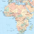
More maps of Africa: Algeria, Benin, Botswana, Burundi, Cameroon, Eritrea and Rwanda.
◄ Africa
|
Copyright © Geographic Guide - Travel, African Continent. |
Map base: United Nations.
Map of Angola