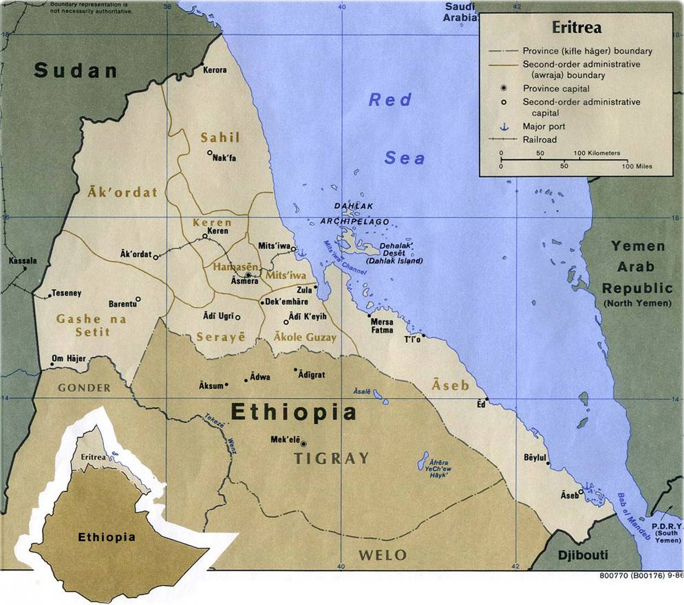
Map of Eritrea
Eritrea is a country in Africa, bounded on the east by the Red Sea, on the southeast by Djibouti, on the south and west by Ethiopia, and on the north and northwest by Sudan. Formerly under Italian and British control, Eritrea was taken over by Ethiopia in 1952, provoking a long war of liberation that culminated in Eritrean independence in 1993. Asmara is the capital and largest city.
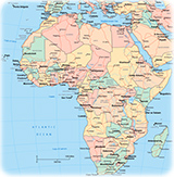
◄ Africa
|
Copyright © Geographic Guide - Travel, African Continent. |
Map: U.S. Central Intelligence Agency, 1986.