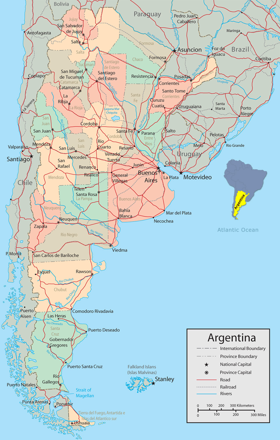
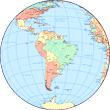
 Argentina is the second largest country, in area, in South
America, after Brazil, and the eighth largest country in the world.
The
capital and largest city is Buenos Aires.
Argentina is the second largest country, in area, in South
America, after Brazil, and the eighth largest country in the world.
The
capital and largest city is Buenos Aires.
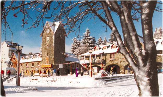
Argentina consists of diverse landscapes, stretching from the tropics in the north to the subpolar region in the south. Within it are the rugged Andes and the highest peak in the Western Hemisphere, the Aconcagua. Most of the people live in cities on the Pampas, the vast fertile prairies that cover the middle of the country. The Pampas traditionally produced much of the country’s agricultural wealth and became famous as the home of the gaucho, the South American cowboy.
Argentina became the first South American country to industrialize and was long the wealthiest country on the continent, enjoying a living standard equivalent to that of European countries. From the 1940s on, however, Argentina has experienced recurring economic difficulties.