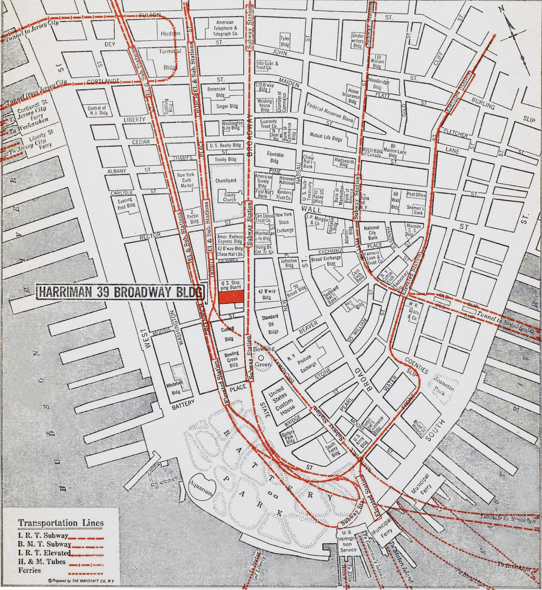
Map of the Tip of Manhattan - 1928
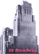
This is a map of the southern tip of Manhattan prepared by the Mapdraft Co. N.Y. as part of a marketing brochure for the Harriman Building at 39 Broadway, showing its location. It was published before May 1928, when the building was completed. Source: Columbia University Libraries.
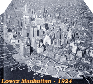
The map highlights the main transport lines and the names of important buildings from that time. Between the late 1920s and early 1930s a large number of skyscrapers was built in Manhattan and the skyline changed immensely in the period.
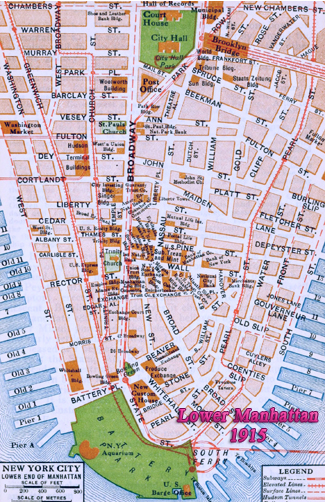
Below, some text from the Rider's New York city and vicinity, ..., edited by Fremont Rider, 1916. Broadway from Bowling Green to Wall Street:
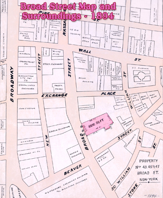
«The names of the streets in this vicinity preserve numerous reminiscences of local history. Broad St., owes its width (and name) to the fact that originally a canal ran through the middle of it. Bridge St. commemorates the bridge which crossed the canal at that point. Moore St. marks the site of the first mooring place for boats. Stone St. was the first New York street to be paved (with cobblestones, in 1657)Whitehall St. originally led to Governor Stuyvesant's house, later known as the White Hall (erected 1658). In Dutch times, it was called the Marckveldt, the memory of which still lingers in Marketfield St., the short block facing the court of the Produce Exchange (Marchfeldt Steegie), which later, probably because it was a favorite shopping center, was rechristened by the English Petticoat Lane.
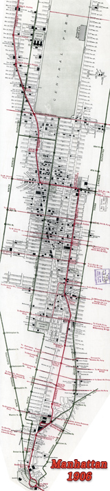
Broadway, the most important street of New York City and probably the best known single street in the world, starts at Battery Place and runs N. through Manhattan, across the Harlem river, through the Bronx and across the city line, a distance of 19 miles. The lower part is lined on either side with huge loft buildings, divided into office suites for professional men. Banks, insurance offices, wholesale houses, newspaper plants, and some factories are also found here.»
More: Historical maps of New York City ►
|
Copyright © Geographic Guide - 20th Century, Cartography, Old Maps NYC. |
Map of the Tip of Manhattan - 1928