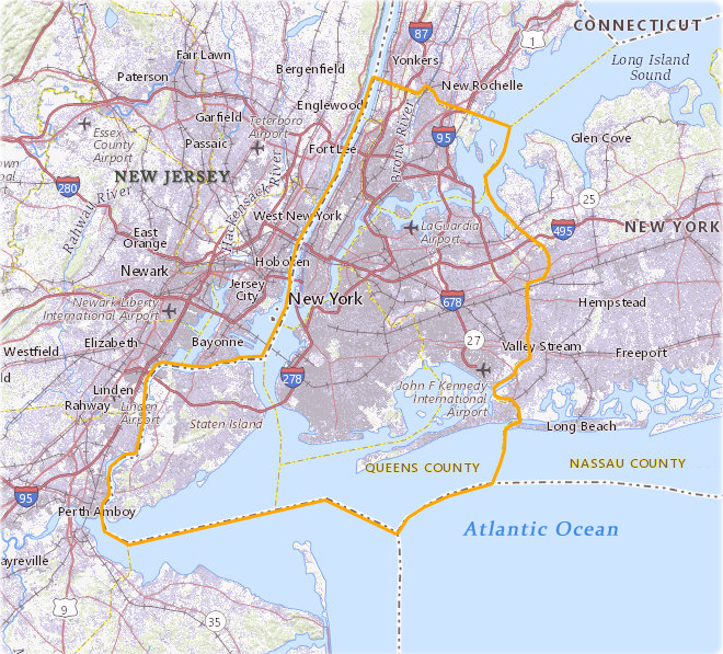
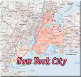
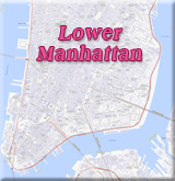
Maps of New York City
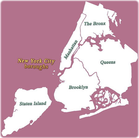
The City of New York is a natural hub and the nation's premiere metropolis. It is composed of five boroughs: Manhattan (the smallest and most densely populated borough), Queens, Brooklyn, Bronx and Staten Island. The five boroughs were merged into a single city in 1898. Manhattan and Staten Island are islands, Brooklyn and Queens are geographically part of Long Island, and the Bronx is attached to the US mainland.
The City has total area of 1,224 km², with 779 km² of land. It is situated in the northeastern United States, in southeastern New York State at the mouth of the Hudson River. The highest point in the city is Todt Hill on Staten Island at 125 m above sea level.
For the past two centuries, New York has been the largest and wealthiest city in the U.S. The City is warm and sunny from May to October, followed by cold winters.
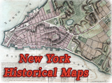
More: Historical maps of New York City ►

State of

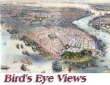
Maps and Panoramic Views of NYC:
• Maps of NYC - 17th Century ►
• Maps of NYC - 18th Century ►
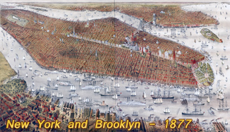
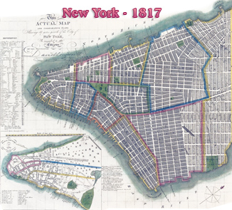
• Maps of NYC - 19th Century ►
• Maps of NYC - 20th Century ►
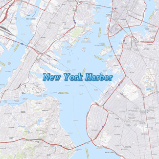
Map source: USGS The National Map 2023.

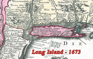
Fragment of Seutter Map.

Maps of New York City
|
Copyright © Geographic Guide - Travel New York City. |