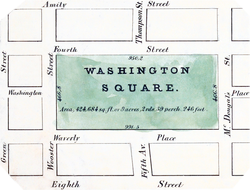
Washington Square Map - 1852
Map of Washington Square, Manhattan, in 1852. Source: NYPL.
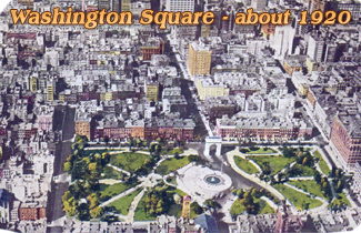
The site became a public park in 1827. Wooster Street is now University Place. The Washington Square Arch was built between 1890 and 1892, marking the beginning of Fifth Avenue. The first fountain was completed in 1852.
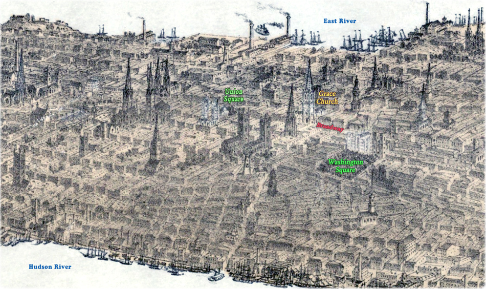
Below, a fragment of the Panorama of Manhattan Island - City of New York and Environs by John Bornet, in 1854. Source: New-York Historical Society Library.

|
Copyright © Geographic Guide - Antique images of NYC. |
Washington Square Map - 1852