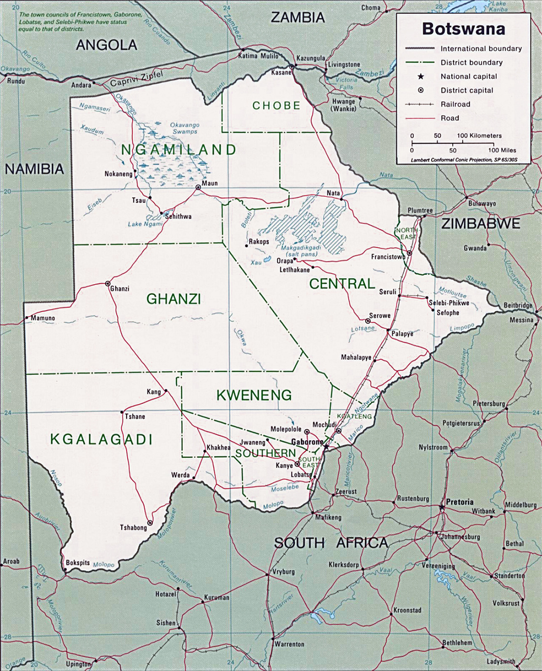
Map of Botswana
Botswana is country in southern Africa. Before gaining independence from Britain in 1966, it was known as Bechuanaland. The country’s name comes from its largest ethnic group, the Tswana. A large majority of the population lives in the eastern part of the country, near the only railroad and the border with South Africa.
Botswana’s diamond mines and other mineral deposits have made it one of the wealthiest African countries. The country has maintained an impressive rate of economic growth since independence. Most of the country is quite dry and unsuited for agriculture. The Kalahari Desert covers much of central and southwestern Botswana. The country is noted for its many animal reserves.
Botswana has been a stable democracy, governed by an elected president, since gaining independence. Gaborone is the capital and largest city. English is the country’s official language, but most of the people speak a Bantu language.
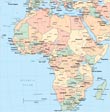
More maps of Africa: Algeria, Burundi, Cameroon and Eritrea.
|
Copyright © Geographic Guide - Travel, African Continent. |
|
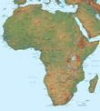
◄ Africa
Map: U.S. CIA 1995.