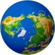
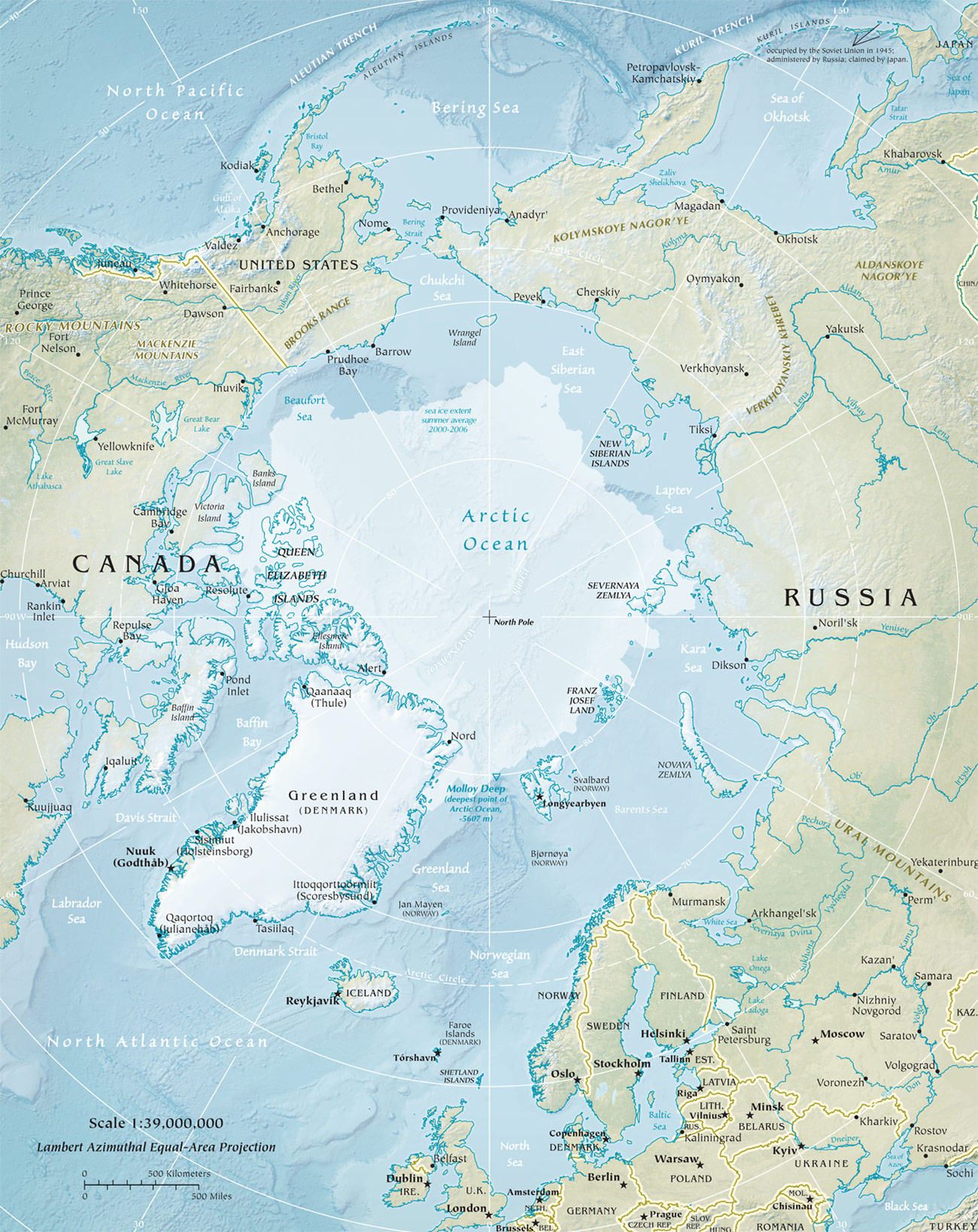
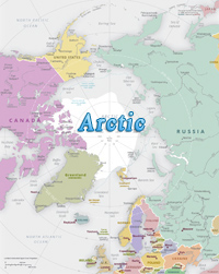
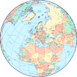
Map of the Arctic Region
The Arctic is a polar region located at the northernmost part of the Planet. It consists of parts of United States of America (State of Alaska), Canada, Finland, Greenland (Denmark), Iceland, Norway, Russia, and Sweden. It also includes the Arctic Ocean and adjoining seas, with sea ice of seasonal size.
The Arctic region has large amounts of minerals, including iron ore, copper, nickel, zinc phosphates, diamonds, large oil reserves and natural gas. Living resources are mainly fishing.
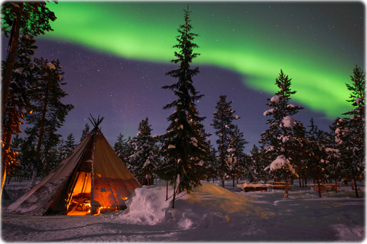
The Northern Lights, or Aurora Borealis, in Jukkasjärvi, Lapland. It is a natural light display that is frequent during the winter months in northern Sweden.
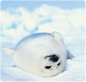
A harp seal pup. The species lives in the Arctic Ocean North Atlantic Ocean. It gets its name from the harp-shaped markings on the back.
|
Copyright © Geographic Guide - Continents of Planet Earth. |
Map of Artic: CIA - The World Factbook 2008.
Map of the Arctic Region
Lola Akinmade Åkerström