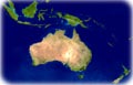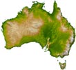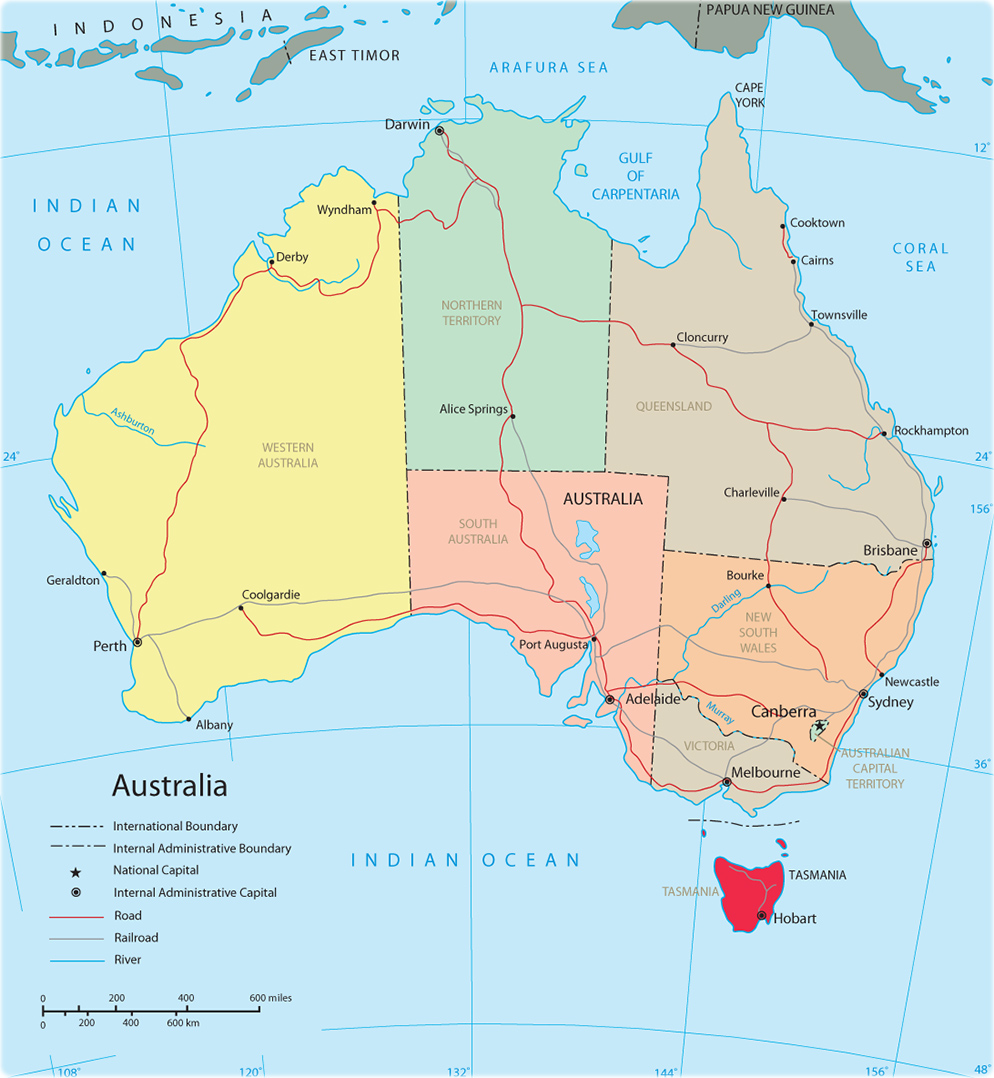
Map of Australia
Australia is a country and island in the Oceania. It is bounded on the north by the Timor Sea, the Arafura Sea, and the Torres Strait; on the east by the Coral Sea and the Tasman Sea; on the south by the Bass Strait and the Indian Ocean; and on the west by the Indian Ocean. The country extends about 4,000 km from east to west and about 3,700 km from north to south. The capital of Australia is Canberra, and the largest city is Sydney; both are located in the southeast.
Australia is made up of six states: New South Wales, Queensland, South Australia, Tasmania, Victoria and Western Australia and two territories, the Australian Capital Territory and the Northern Territory. The external dependencies of Australia are the Territory of Ashmore and Cartier Islands, the Australian Antarctic Territory, Christmas Island, the Territory of Cocos Islands, the Coral Sea Islands Territory, the Territory of Heard Island and McDonald Islands, and Norfolk Island.
Australia remained relatively unknown to most of the outside world until the 17th century. The first permanent European settlement was established in 1788 at Port Jackson, in southeastern Australia, as a British penal colony; it grew into the city of Sydney. Australia developed as a group of British colonies during the 19th century, and in 1901 the colonies federated to form a unified independent nation, the Commonwealth of Australia.
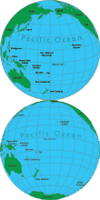
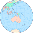
◄ Oceania
|
Copyright © Geographic Guide - Travel Pacific Islands. |
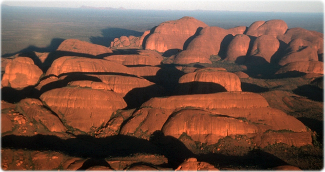
The Olgas, Uluru National Park, Australia.