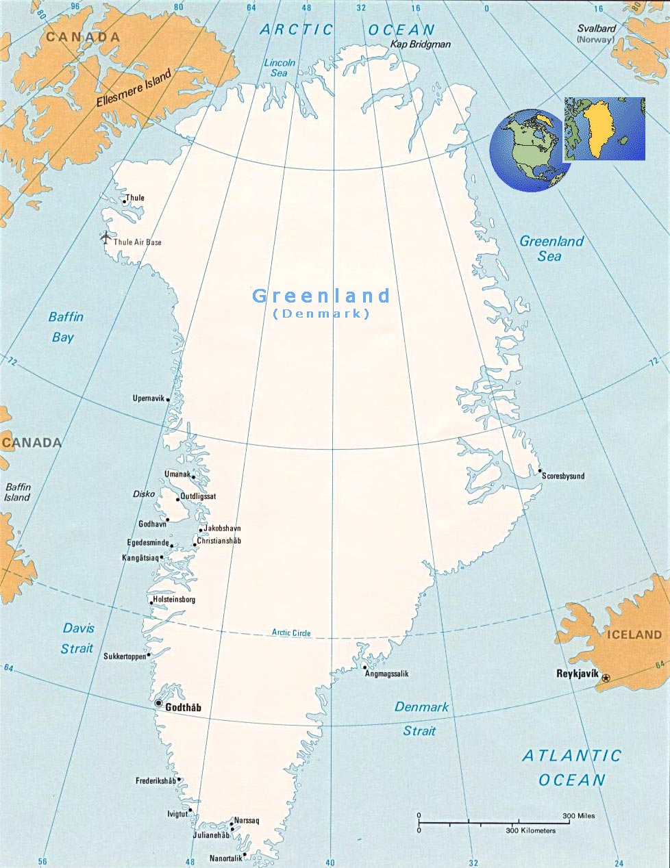
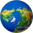
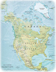
![]() Greenland
is part of North America and is the world’s second biggest island, after
Australia. It is bordered by the Arctic Ocean to the north, the Greenland
Sea to the east, the Atlantic Ocean to the southeast, the Davis Strait to
the southwest, Baffin Bay to the west, the Nares Strait and Lincoln Sea to
the northwest. Nuuk is the capital.
Greenland
is part of North America and is the world’s second biggest island, after
Australia. It is bordered by the Arctic Ocean to the north, the Greenland
Sea to the east, the Atlantic Ocean to the southeast, the Davis Strait to
the southwest, Baffin Bay to the west, the Nares Strait and Lincoln Sea to
the northwest. Nuuk is the capital.
Greenland became a Danish colony in 1714 and was unified with Denmark in 1814. Today Greenland is a self-governing overseas administrative division of Denmark. The island received home-rule in 1979 and self-rule in 2009.
Its total area is 2,166,086 km2 and almost 80% of it is covered by the ice cap and glaciers. The ice-free area is almost as large as Sweden, but only a very small part of it is arable. It has 44,087 km of coastline. Greenland is in the polar zone, where winter temperatures reach as low as -50°C and summer temperatures rarely exceed 10–15°C. The official language is Greenlandic. Greenland has 56.609 residents (2023), with 19.604 in the capital Nuuk. The population is concentrated mainly on the southwest coast. Sealing, whaling, fishing and hunting are the main sources of income. It also has a growing income from tourism as well as some mining.
From 986, the west coast was settled by Icelanders and Norwegians, through a contingent of 14 boats led by Erik the Red. They formed three settlements on fjords near the southwestern tip of the island. Norse Greenlanders submitted to Norwegian rule in 1261 under the Kingdom of Norway.