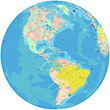
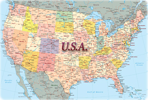
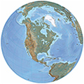
Maps of America
America is a continent divided into four parts: North America, Central America, South America and the Antilles (Latin America does not exist).
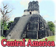
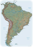
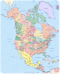
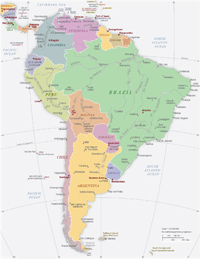
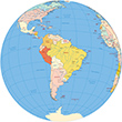
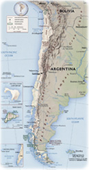
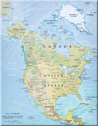
Maps of the American Countries
American Territories and Islands
Anguilla, United Kingdom
Aruba, Netherlands
Easter Island - Chile
Falkland Islands - UK
Galapagos Islands, Ecuador
Greenland, Denmark
Saint Pierre and Miquelon, France
Saint John, Virgin Islands
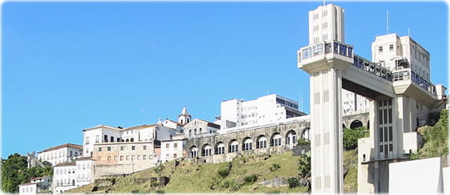
The Historic Center of Salvador, Bahia. The first Brazilian capital, founded by Portuguese in the 16th century, it was one of the biggest and one of the most important cities in America, during the 17th and 18th centuries. It was loved at first sight by Darwin, when the young scientist went to South America, in 1832. Disney brought Donald here (Los Tres Caballeros, 1944) to visit the land where samba and capoeira was created. The Elevador Lacerda (right, in the foreground), built in the 19th century, was the first elevator in the world to connect neighborhoods in a city.

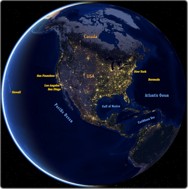


Lights in North America
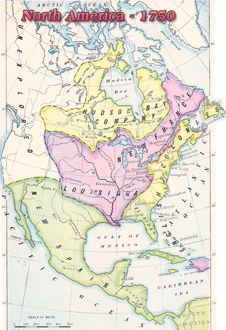
America was named, in 1507, by German cartographer Martin Waldseemüller after Italian merchant and explorer Amerigo Vespucci. In the first years of the 16th century, when he accompanied the Portuguese on an exploratory expedition along the Brazilian coast, discovered in 1500, Vespucci realized that there would be a "New World" in that region. Not to be confused with the lands discovered by Columbus years before.
Waldseemüller put the name AMERICA on Brazil. Originally, the "New World" was a part of South America, mostly Brazil and its westward extension to the Pacific Coast, then not yet discovered by Europeans.
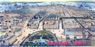
More: Historical maps of New York City ►

|
Copyright © Geographic Guide - Travel and Maps. American Continent. |
Maps of America
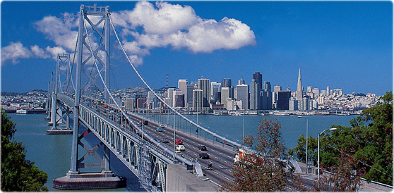
The Bay Bridge, spanning over 8 miles, connects San Francisco with the East Bay.

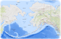
Alaska

Phil Coblentz