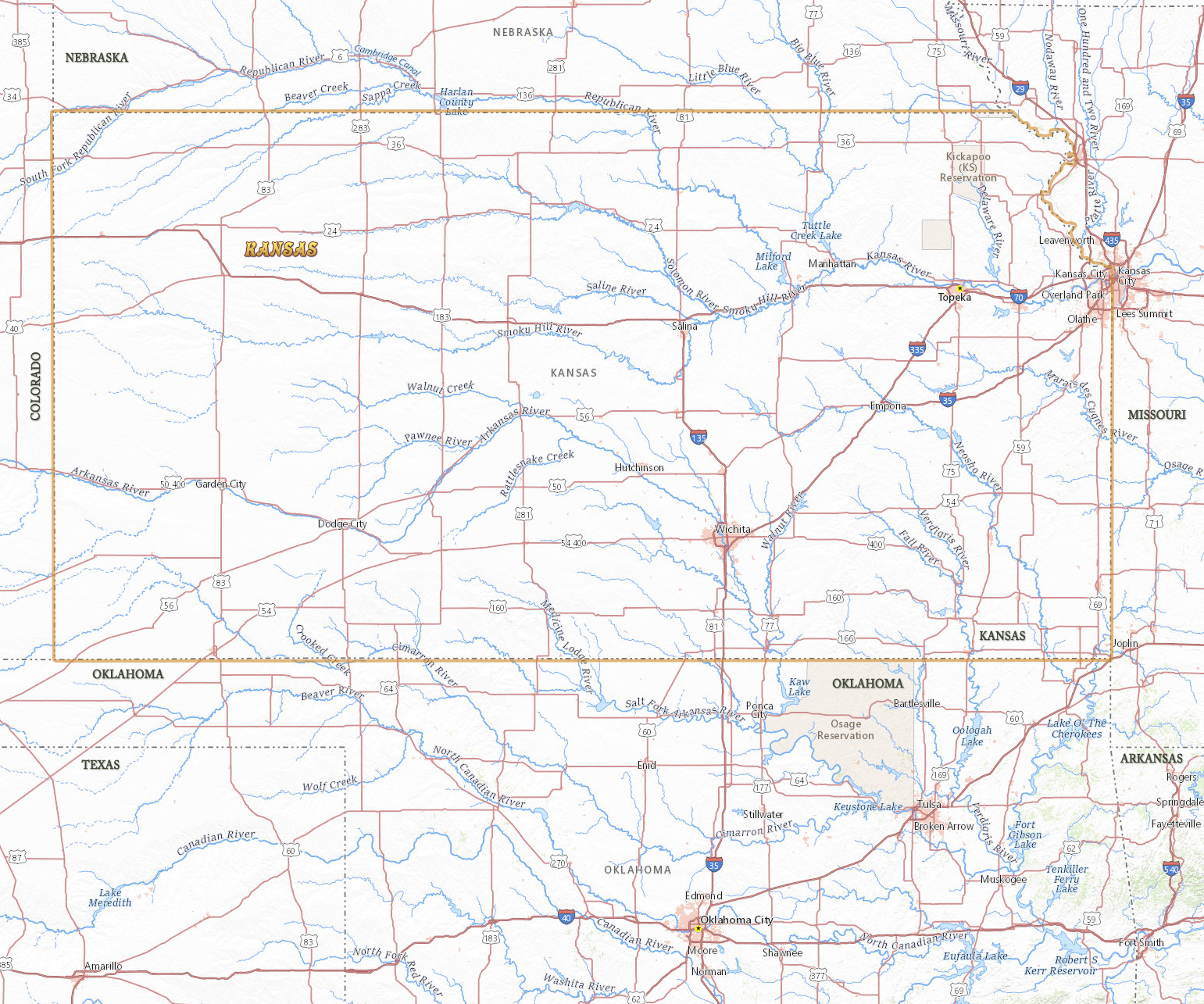
Map of Kansas
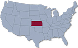
Kansas is a state in the western part of the central United States, named after the Kansas River. It entered the Union in 1861. The capital is Topeka and the largest city is Wichita. It is bordered by Nebraska, Missouri, Oklahoma and Colorado.
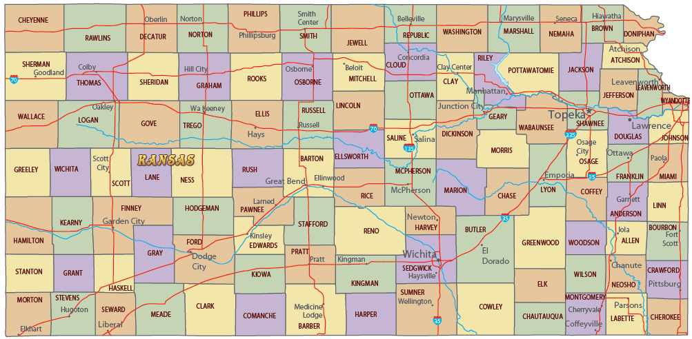
Political Map of Kansas
◄ Kansas


|
Copyright © Geographic Guide - Travel United States. |
Source (edited): USGS National Map.
Map of Kansas