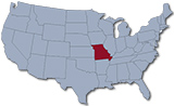
Map of Missouri
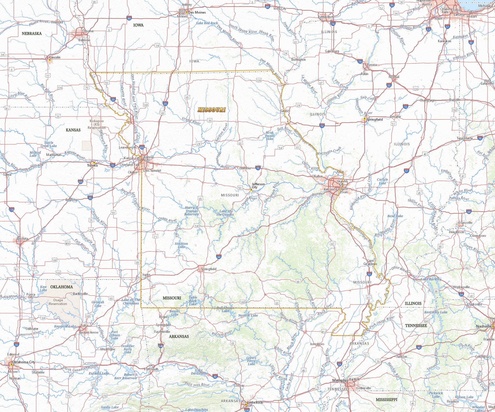
The U.S. state of Missouri entered the Union in 1821. The capital is Jefferson City, the largest city is Kansas City and the largest metropolitan area is Saint Louis. Missouri is bordered by the states of Iowa, Nebraska, Kansas, Oklahoma and Arkansas. The Mississippi River separates the state of Missouri from Tennessee, Kentucky and Illinois. The Missouri River crosses the state to the north of St. Louis and empties into the Mississippi.
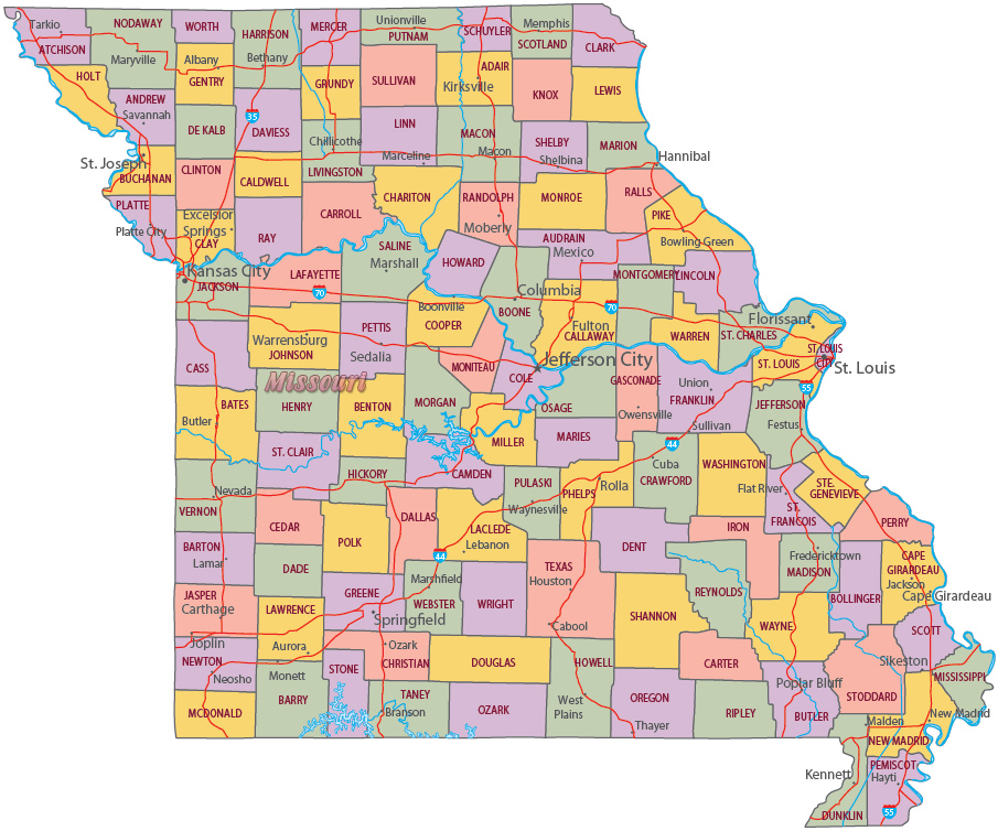
Political Map of Missouri


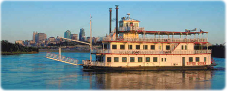
The River Queen paddle boat in the Missouri River, with Kansas City in the background.


|
Copyright © Geographic Guide - Travel United States of America. |
Source (edited): USGS National Map.