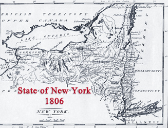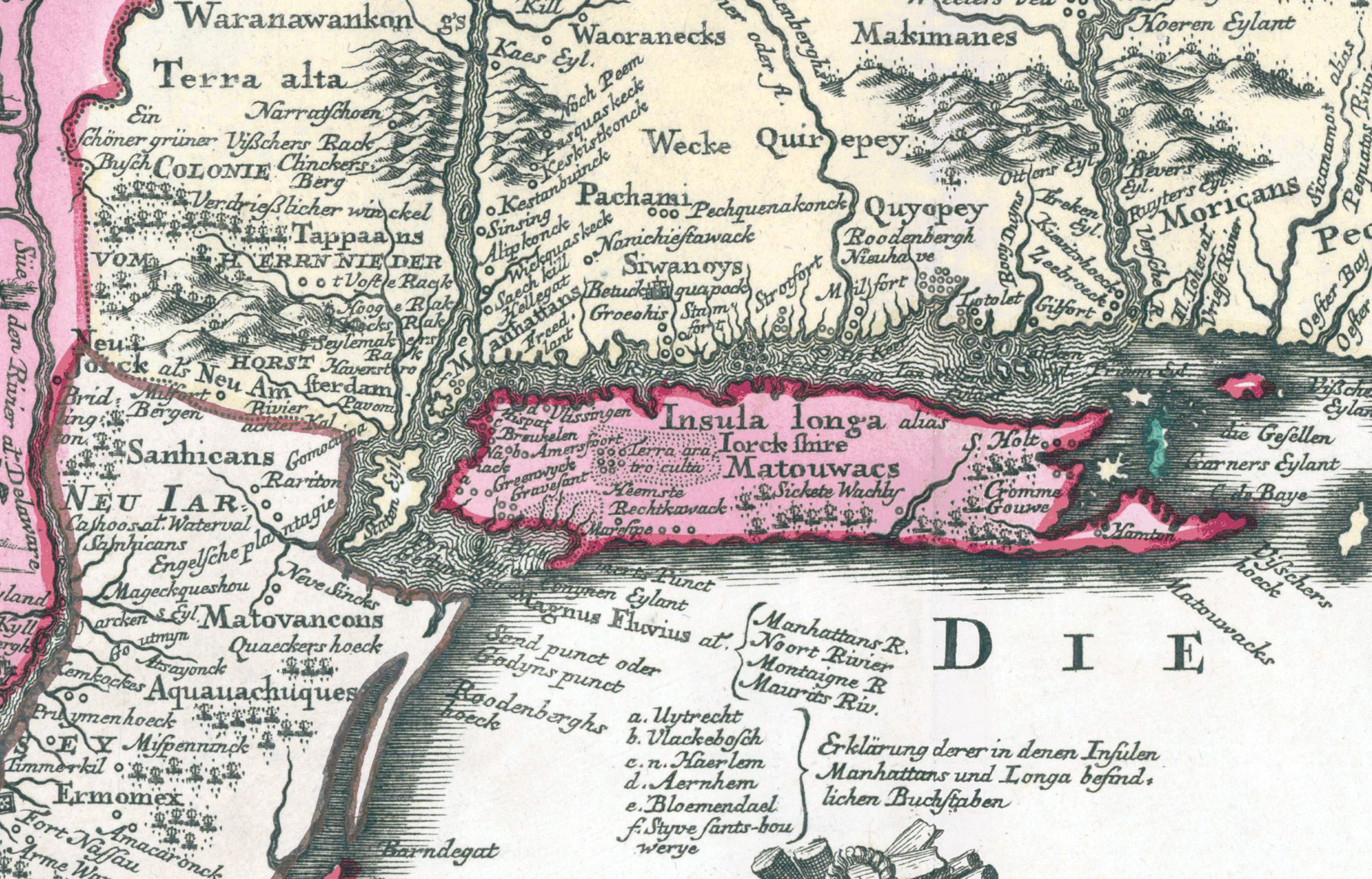
Map of Long Island - 1673
This is a fragment a 17th century hand-colored map of the eastern coast map of North America, known as the Seutter Map, showing Long Island (Insula Longa, Iorck Shire) New York and other places. Year depicted: 1673. Original title: Recens edita totius Novi Belgii, in America septentrionali siti / delineatio cura et sumtibus Matthaei Seutteri ; chalcographi Augustani. Published in Augsburg (now in Germany) about 1730. Engraved by Matthaeus Seutter (1678-1756). Second state according to Campbell (New light on the Jansson-Visscher maps of New England, 1965). It includes an inset of the City of New York, title: Neu Jorck sive Neu Amsterdam. Source: Princeton University Library.
In September of 1664, English forces took control of New Amsterdam and the city was renamed New York. On August 24, 1673, the Dutch took over the city again, but, in 1674, the Treaty of Westminster was signed by the Dutch Republic and the Kingdom of England, providing for the return of the colony of New Netherland to England.
Today, Long Island is a densely populated island in southeastern New York State, with a significant part of the New York metropolitan area. It is divided among four counties: Kings (Brooklyn), Queens, Nassau and Suffolk. More: Maps of NYC - 17th Century ►
|
Copyright © Geographic Guide - 17th Century NYC. Historic Maps. |
More: Historical maps of New York City ►

Inset of this map.
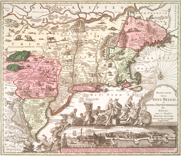


The full map Recens Edita totius Novi Belgii, in America Septentrionali, the Seutter Map.
Map of Long Island - 1673