 The
Lenape people, who inhabited Manhattan before European colonization, left no
written records. Information about the territory was transmitted through oral
tradition.
The
Lenape people, who inhabited Manhattan before European colonization, left no
written records. Information about the territory was transmitted through oral
tradition.
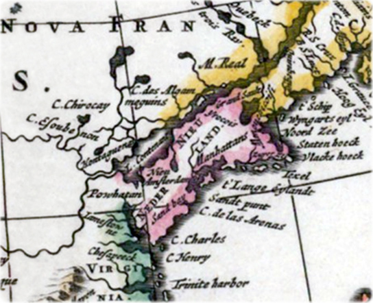
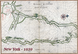
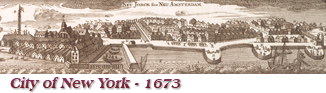
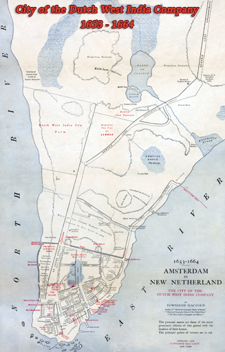
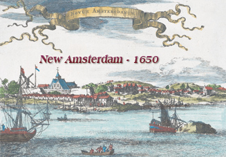
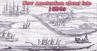
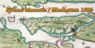
New York was founded in 1624 as New Amsterdam by Dutch settlers. At that time, cartography or cosmography, as the activity of creating maps was called, was well developed in the Netherlands, although there were still large errors in longitude, which were resolved in the 18th century. The earliest surviving map of the area now known as New York City is the Manatus Map made in 1639 by Joan Vinckeboons, depicting what is now Manhattan, Brooklyn, the Bronx, Queens, Staten Island, and New Jersey.
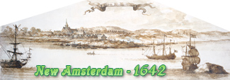
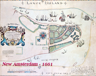
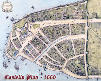
The earliest known urban map of New Amsterdam is commonly called the Castello Plan after a Tuscan castle where it was discovered. It is believed it was copied by an unknown draftsman around 1665-1670 from the survey made by Jacques Cortelyou (ca 1625–1693) in the summer of 1660, now lost.
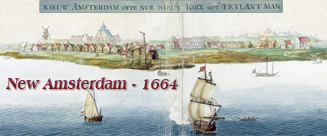
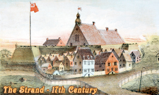
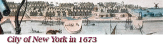
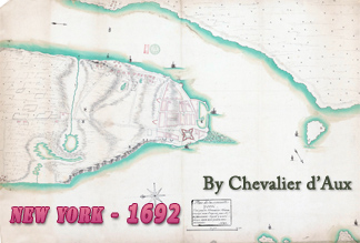
When the English took over New Amsterdam, in 1664, and renamed it New York, surveying and mapmaking continued. The canal (Heere Gracht) was filled in about 1676 and the wooden pier was replaced by a stone pier surrounded by a breakwater: the Great Dock.
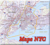
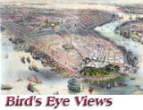
More maps and panoramic views of NYC:
• Maps of NYC - 18th Century ►
• Maps of NYC - 19th Century ►
• Maps of NYC - 20th Century ►
• Bird's Eye Views of New York ►
More: Historical maps of United States ►