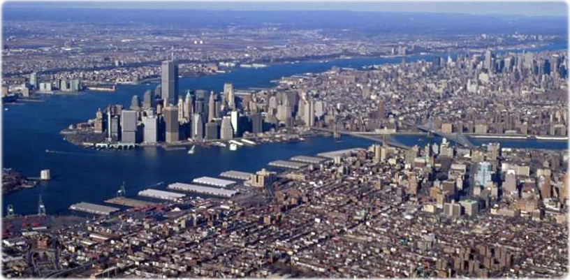
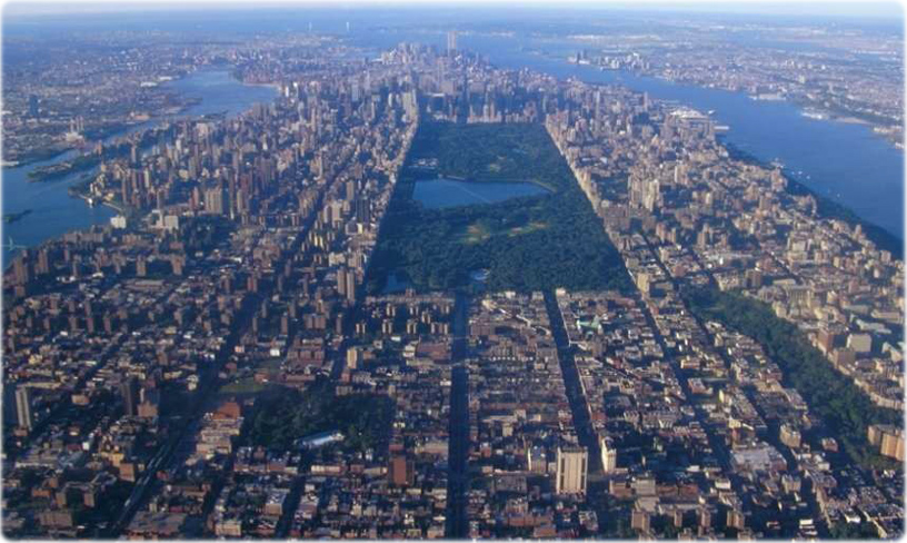
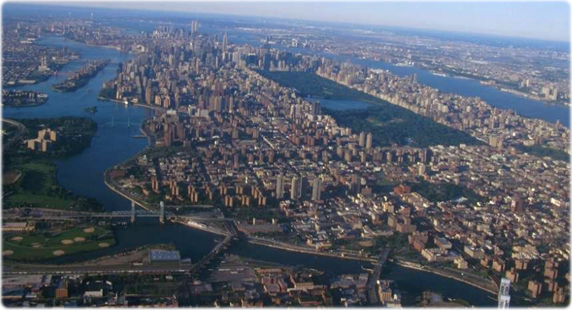
Aerial Photos of New York City - about the 1990s
In the 1990s, the United States of America was undisputedly the most powerful nation in the world. China was still a developing country and was trying to overcome its Maoist heritage. The Soviet Union disintegrated after the fall of the Berlin Wall in 1989. The Internet was on the rise and the world economy was changing dramatically.
In 1990, the total number of residents in New York City was 7,3 million people and, in 2000, was 8 million.
More: Maps of NYC - 20th Century ►
|
Copyright © Geographic Guide - Antique photographs of NYC. Late 20th Century. |


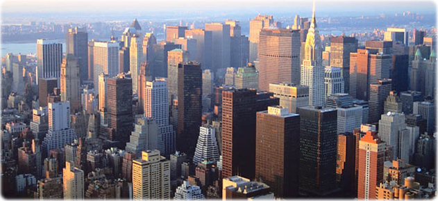
Buildings in Midtown Manhattan.
East River


Aerial Photos of New York City - about the 1990s
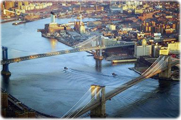
Manhattan Bridge and Brooklyn Bridge over East River.
The East River separates Long Island from Manhattan, one of five boroughs of New York City.

Manhattan Island, looking south.
Sailing off Manhattan
Chrysler Building
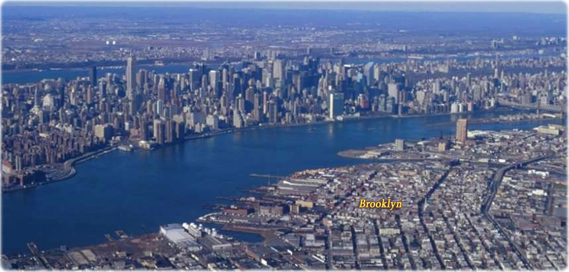
Brooklyn
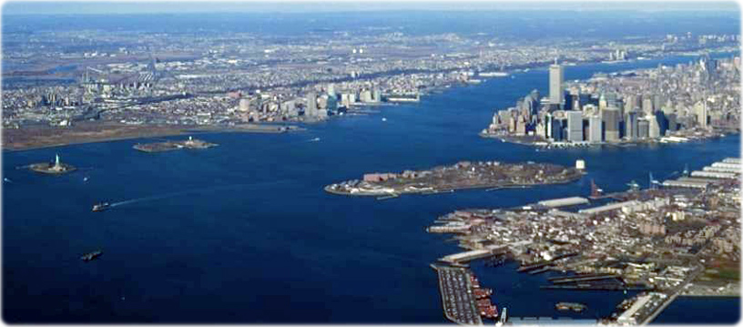
Upper New York Bay
Central Park
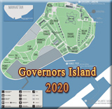
Governors Island
East River
Hudson River
East River