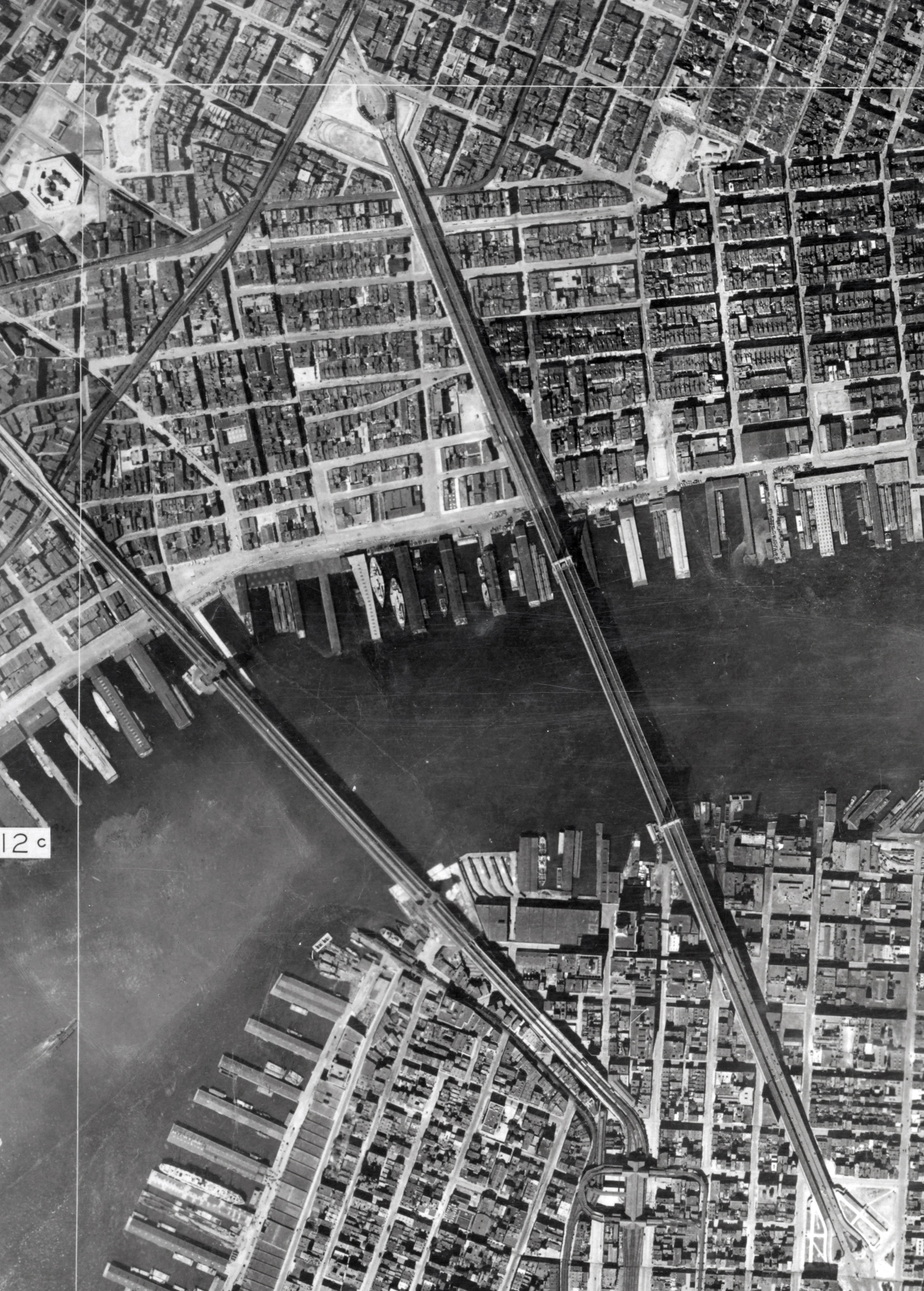
Aerial Photograph of Manhattan and Brooklyn Bridges - 1924
Aerial photo of the Manhattan and Brooklyn Bridges area, photographed by Fairchild Aerial Camera Corporation, under the direction of the chief engineer of the Board of Estimate and Apportionment of the City of New York, on July 1st, 1924. Source: The New York Public Library.
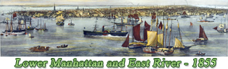
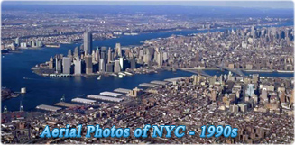
The East River is in fact a saltwater tidal estuary. It connects New York Harbor on its south end to Long Island Sound on its north end. It divides Manhattan Island from Queens and Brooklyn, also on Long Island. It also separates the borough of Queens on Long Island from the Bronx on the North American mainland.

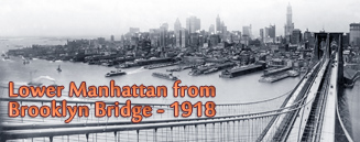
Brooklyn Bridge
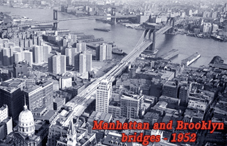

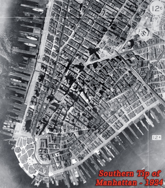
Manhattan Bridge


|
Copyright © Geographic Guide - 20th Century NYC. |
East River
Aerial Photograph of Manhattan and Brooklyn Bridges - 1924