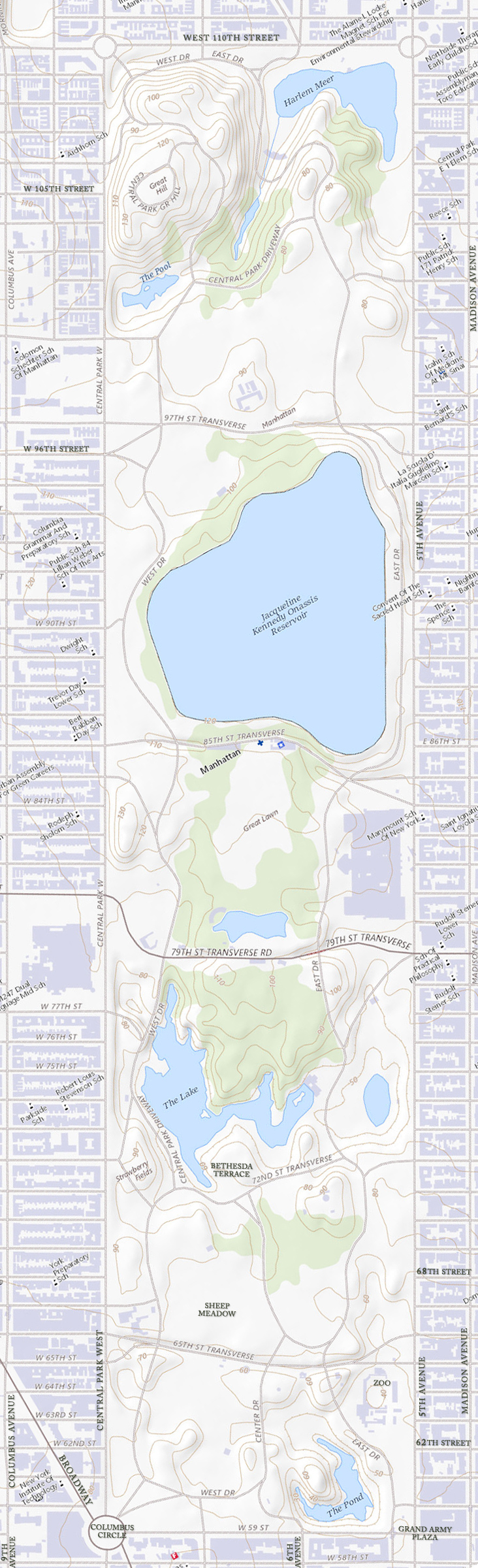
Map of Central Park
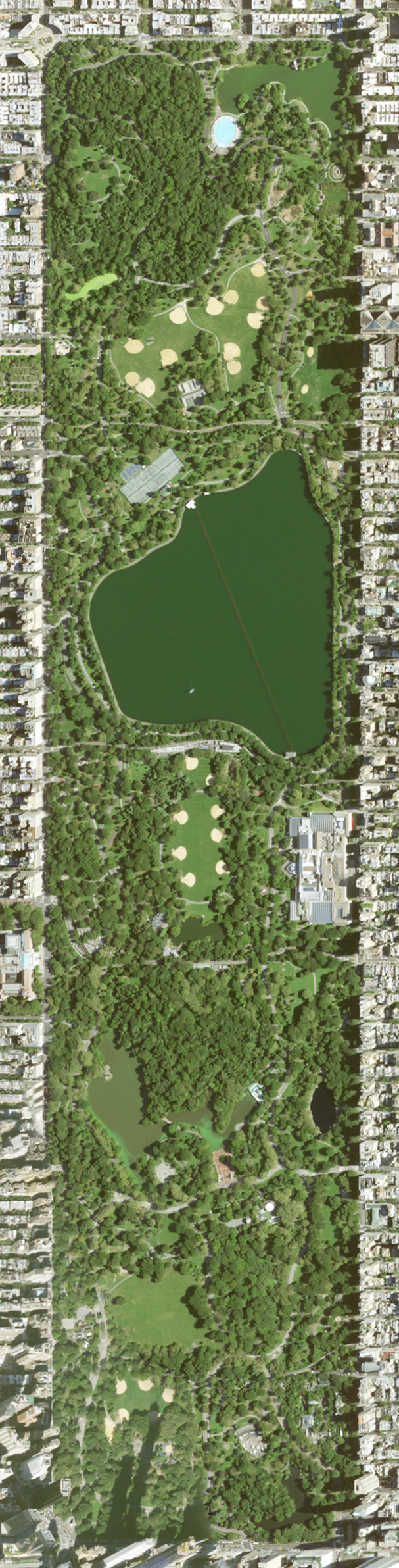
Map and aerial image of Central Park from Source: USGS National Map based with Data refreshed April, 2023. The map has additional text.
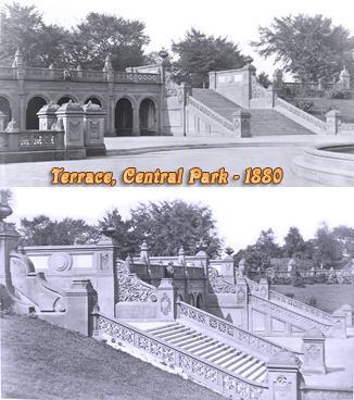
Central Park is a New York City urban park bordered by Central Park North at 110th Street; Central Park South at 59th Street; Central Park West at 8th Avenue; and Fifth Avenue on the east. The park is adjacent to the neighborhoods of Harlem to the north, Midtown Manhattan to the south, the Upper West Side to the west, and the Upper East Side to the east. Central Park measures 2.5 miles (4.0 km) from north to south and 0.5 miles (0.80 km) from west to east. It is the fifth-largest park in the City, containing 843 acres (341 ha), and the most visited urban park in the United States.
◄ Maps NYC

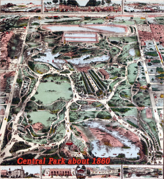


Map of Central Park

|
Copyright © Geographic Guide - Travel New York City. Maps of USA. |
Map base source: USGS National Map.