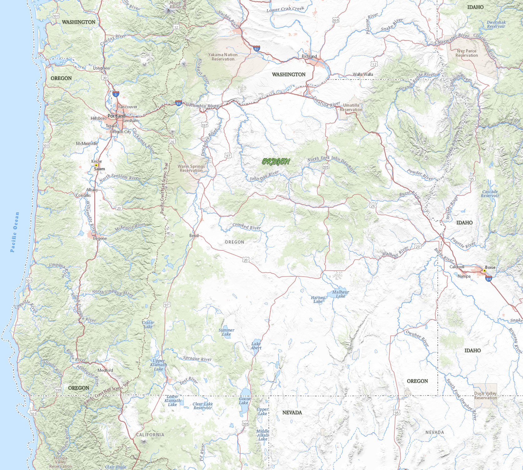
Map of Oregon
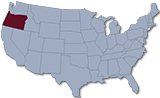
Oregon is one of the Pacific states of the USA. Mount Hood (3,426 m) is the highest peak in Oregon. The capital is Salem and Portland is the largest city. Oregon is bordered, on the north, by the state of Washington, on the east by Idaho, on the south by Nevada and California, and on the west by the Pacific Ocean.
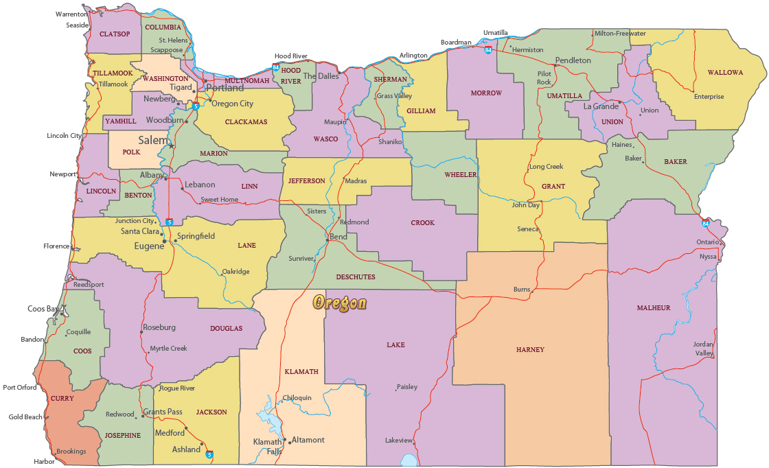
Political Map of Oregon


|
Copyright © Geographic Guide - Travel United States of America. |
Source (edited): USGS National Map.