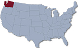
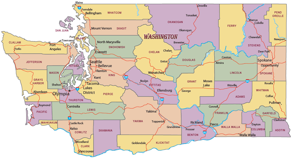
Map of the State of Washington
Washington is a state in northwestern United States. It has an extreme length, from east to west, of 607 km and a maximum width, from north to south, of 385 km. The mean elevation is about 500 m. The capital is Olympia and the largest city is Seattle. It is bordered by the Canadian province of British Columbia, by the states of Oregon, Idaho and on the west by the Pacific Ocean.
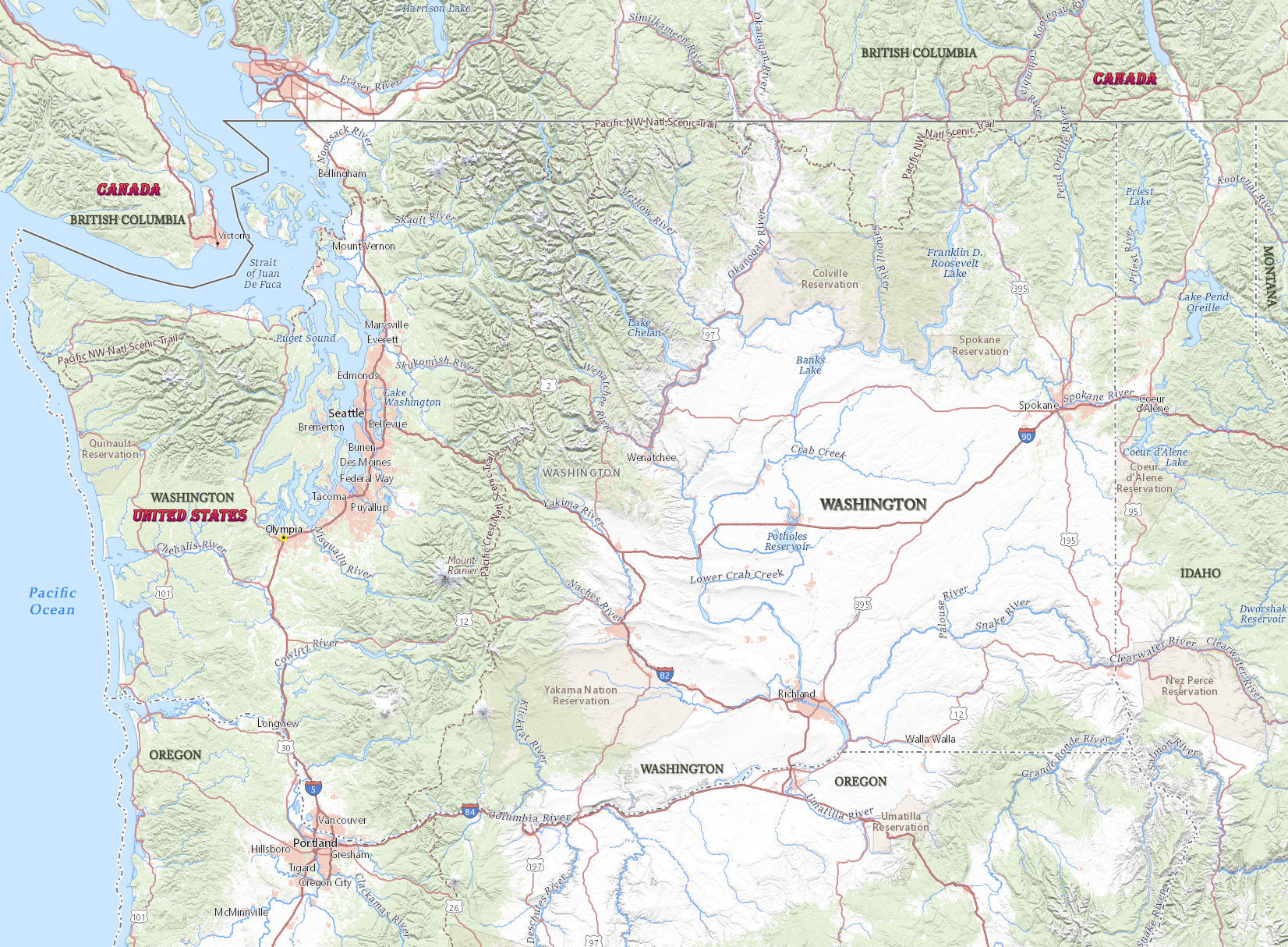
Political Map of Washington
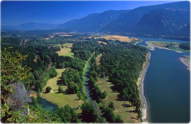

View of the Columbia River Gorge, Beacon Rock State Park, Washington.

|
Copyright © Geographic Guide - Travel United States of America. |
Source (edited): USGS National Map.
Map of the State of Washington