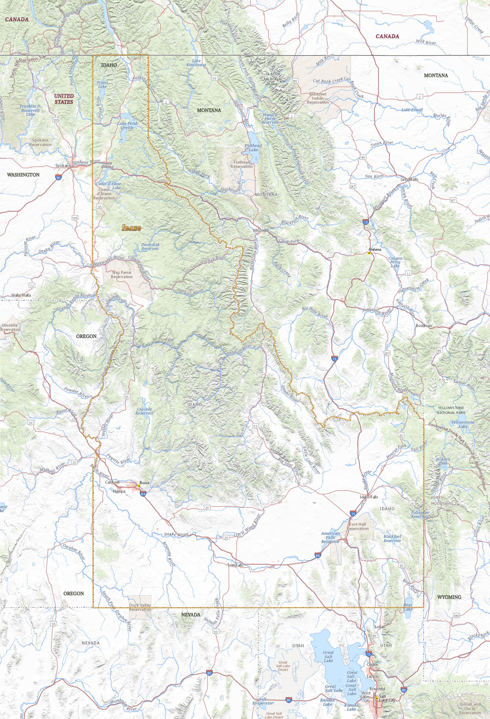
Map of Idaho
Idaho became the 43rd state of USA, in 1890, much of it is covered by the Rocky Mountains. The capital and largest city is Boise. Idaho is bordered by the states of Washington, Oregon, Nevada, Utah, Montana and Wyoming. Canada is to the north.

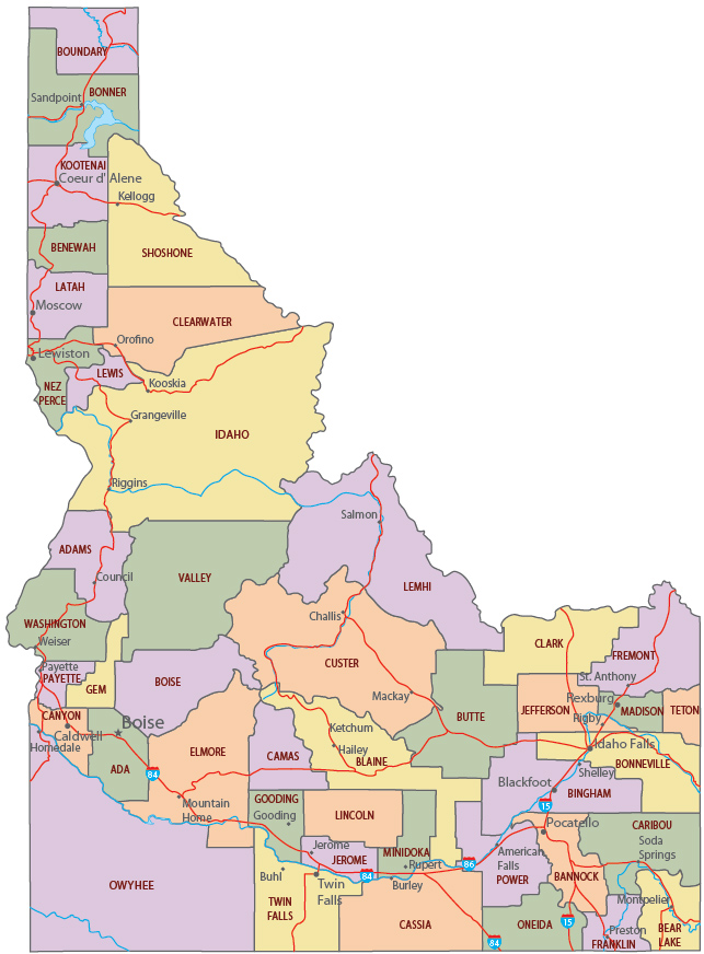
Political Map of Idaho
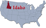
◄ Idaho
Snake River Canyon, Idaho.


|
Copyright © Geographic Guide - Travel United States of America. |
Source (edited): USGS National Map.
Map of Idaho