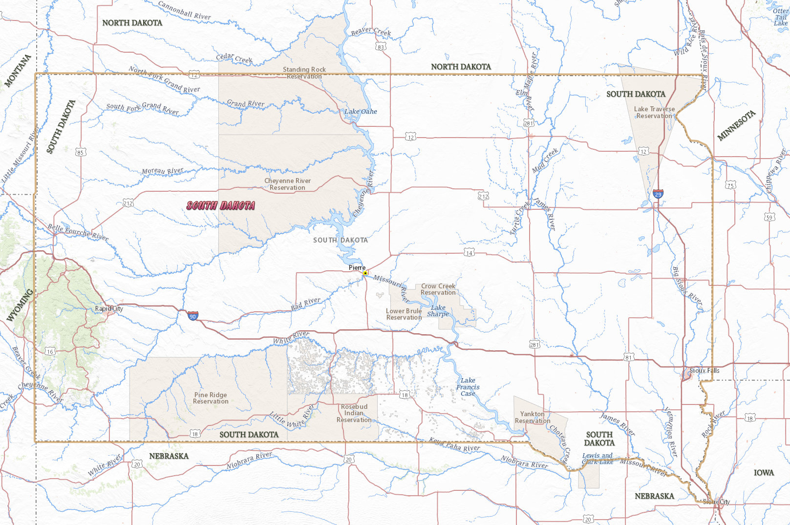
Map of South Dakota
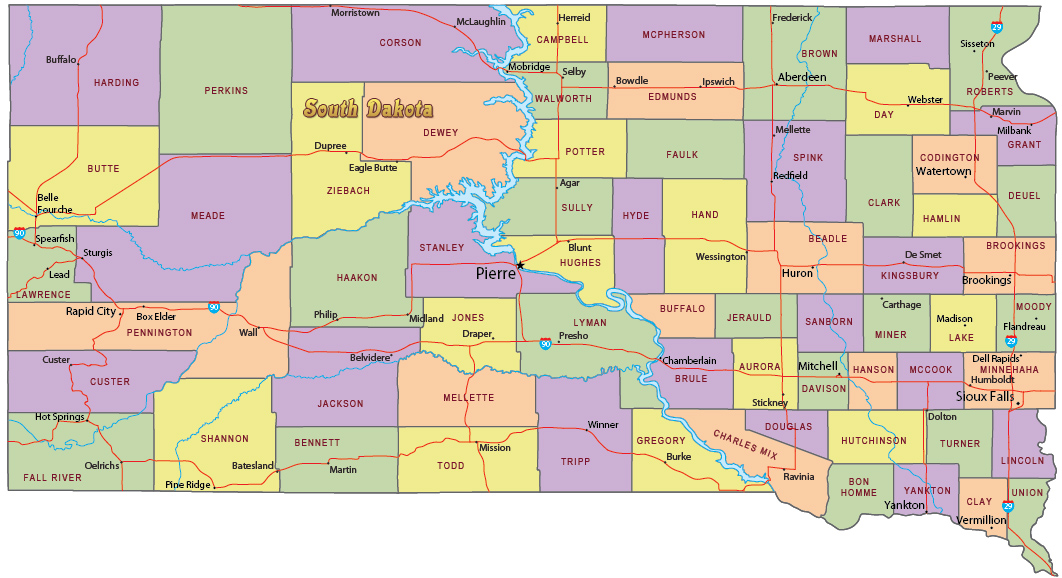
South Dakota is one of the states in the north-central region of the United States. The Missouri River is the largest and longest river in the state. The capital is Pierre and the largest city is Sioux Falls. South Dakota is bordered by the states of North Dakota, Minnesota, Iowa, Nebraska, Wyoming and Montana.
Political Map of South Dakota


|
Copyright © Geographic Guide - Travel United States, North America. |
Source (edited): USGS National Map.
Map of South Dakota