
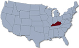
Map of Kentucky
The state of Kentucky was originally part of Virginia and entered the Union in 1792. The capital is Frankfort and the largest city is Louisville. Kentucky is bordered by the states of West Virginia, Virginia, Tennessee, Missouri, Illinois, Indiana and Ohio.
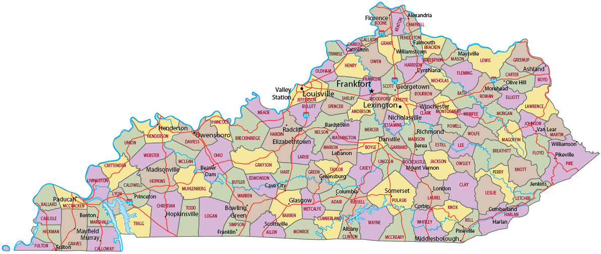
Political Map of Kentucky

Cumberland Falls State Resort Park, Kentucky.

|
Copyright © Geographic Guide - Travel United States. |
Source (edited): USGS National Map.

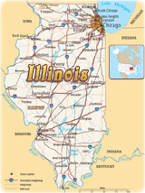
Map of Kentucky