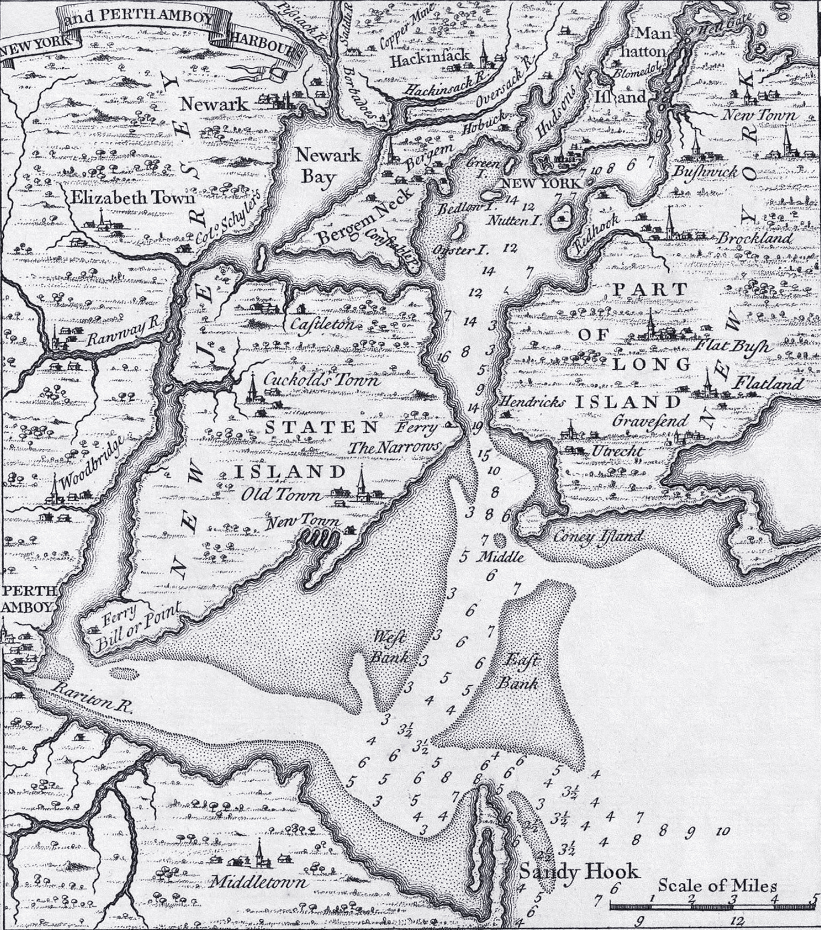
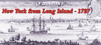
New York and Perth Amboy Harbors - 1733
Original title: New York and Perth Amboy Harbors. This is an inset from A Map of the British Empire in America with the French and Spanish Settlements adjacent thereto, by Henry Popple. It was originally engraved by Willm. Henry Toms & R.W. Seale, published in London, in 1733, 1st edition. Source: David Rumsey Historical Map Collection.
Perth Amboy is a city in northeastern Middlesex County, state of New Jersey, within the New York metropolitan area. When formed in 1683, the city was dubbed "New Perth" in honor of James Drummond, Earl of Perth. The name Point Amboy emerged from a combination of native and colonial names.
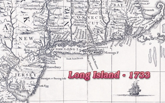
Fragment from the same map.
More: Maps of NYC - 18th Century ►
|
Copyright © Geographic Guide - 18th Century Maps of New York. |
New York and Perth Amboy Harbors - 1733
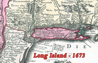
Inset from the same map.