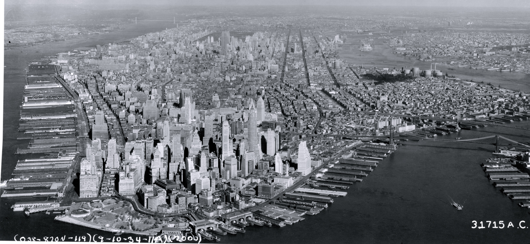
Manhattan Island - 1934
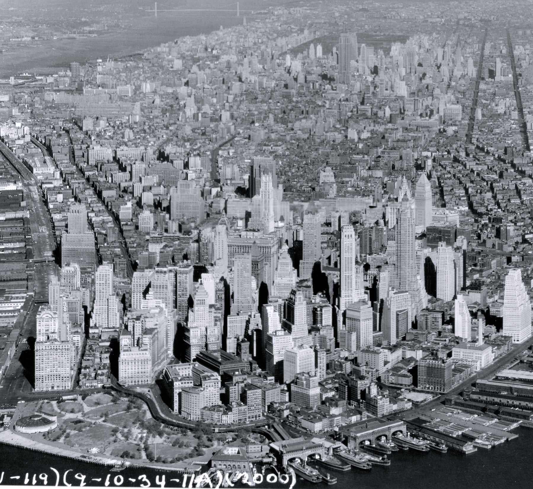
Aerial photo of Manhattan Island from the Upper New York Bay, dated September 10, 1934. Battery Park is in the foreground, Hudson River, a tidal estuary that separates the Bronx and Manhattan from Northern New Jersey, is on the left and East River is on the right. Source: Fort Dix, Records of the Army Air Forces / U.S. National Archives and Records Administration. Below, enlargement of buildings in the center.
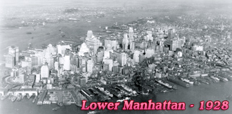
The Manhattan Island is 13.4 miles long and 2.3 miles wide, at its widest point, near 14th Street. It is bounded by the Hudson River (west), Harlem River and Spuyten Duyvil Creek (northeast), East River (east), and Upper New York Bay (south). Manhattan is the most densely populated borough, geographically the smallest of the five boroughs of New York City and home to most skyscrapers. It contains the major business centers of the city and many cultural attractions. Manhattan can be divided into three main regions: Downtown (Lower Manhattan), Midtown and Uptown. More: 20th Century Skylines of NYC ►
Manhattan Island - 1934
|
Copyright © Geographic Guide - 20th Century NYC Skyscrapers. |